Mount Isolation via Glen Boulder – Trail Guide & Trip Report (White Mountains, NH)
“Steep, rugged, and relentlessly scenic, the Glen Boulder route to Mount Isolation offers some of the most dramatic views in the Whites. From the perched boulder and Gulf of Slides outlook to the quiet summit deep in the Dry River Wilderness, this hike delivers challenge and reward in equal measure.”
Trail Diary
7:24 AM — Glen Ellis Trailhead
I parked at the newly renovated Glen Ellis lot, which still had plenty of open spaces. Mount Isolation has several approaches, but I chose the Glen Boulder route — steeper and harder than Rocky Branch, but far more scenic. From the start, the trail wastes no time gaining elevation.
8:29 AM — Alpine zone (1.62 mi)
After a punishing climb through rugged forest, I broke out above treeline. One of the best things about this route is how quickly the views open up. Pinkham Notch spread out behind me, with the Wildcats and Carters to the east, and Glen Boulder perched above on the slope.
8:43 AM — Glen Boulder (1.81 mi)
That giant boulder, precariously balanced on the ridge, is always a sight. The morning haze made the notch look ethereal.
9:15 AM — Into the woods again
Beyond Glen Boulder, the trail climbed steeply over rocky ledges lined with mountain cranberries and blueberries, then dipped into a rugged wooded section. At 2.5 miles, I passed a spring — a useful water source.
9:46 AM — Gulf of Slides outlook
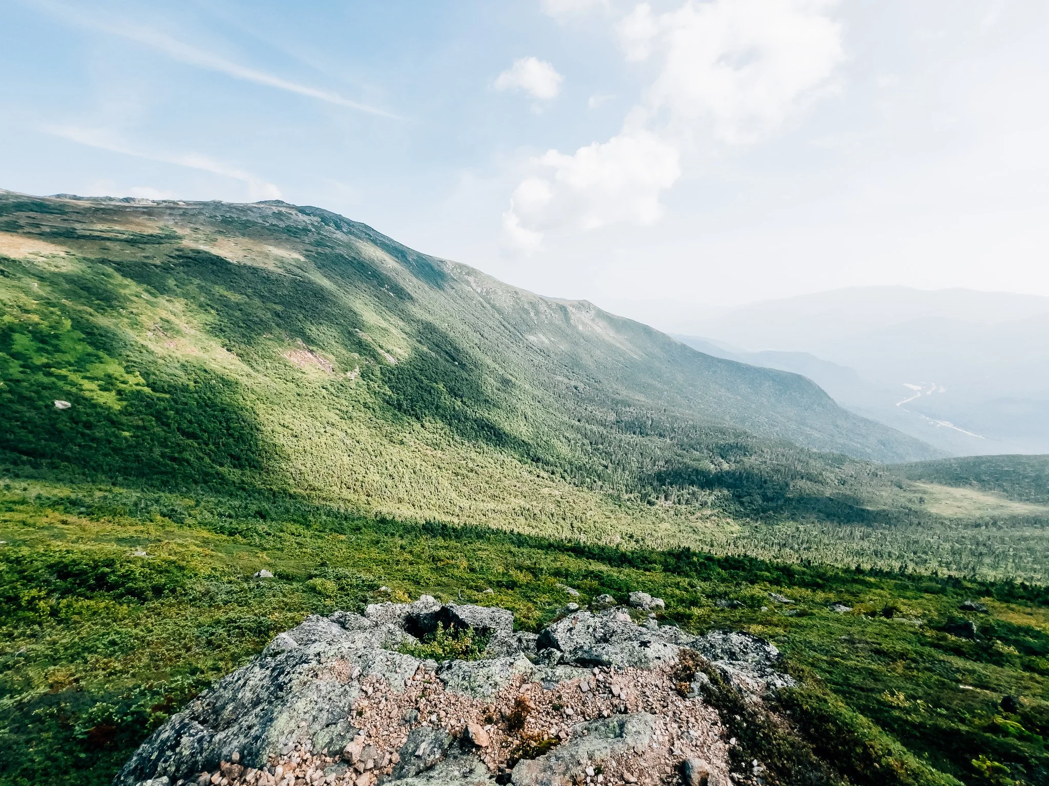
Leaving the trees, the world opened up again. Mount Washington loomed to the north, with the Presidential Range laid out dramatically.
10:10 AM — Davis Path junction
Here the Glen Boulder Trail meets Davis Path. Heading north leads toward Mount Washington, but I turned south for Mount Isolation. The frustrating part of this route is clear: after climbing all the way to Boot Spur (over 5,000 feet), you have to drop down before climbing again on the way back.
10:25 AM — Descent into Dry River Wilderness
The ridge walk offered sweeping wilderness views before reentering damp, mossy woods. Even in dry conditions, this section stays wet from fog and mountain runoff, giving it a rainforest feel.
11:05 AM — Rocky Branch junction
This is where hikers from Rocky Branch Trail merge in.
11:23 AM — Isolation Spur
The final junction.
11:26 AM — Mount Isolation Summit
Despite its name, Isolation can be surprisingly busy — but today it felt quiet. The view south over the Dry River Wilderness and north back toward Washington made the miles worth it.
1:06 PM — Back to Boot Spur
The dreaded climb back up was slow and tiring, but the open ridge softened the blow with scenery.
1:52 PM — Glen Boulder
One last look across Pinkham Notch.
2:40 PM — Trailhead
Back to the car after a demanding but rewarding day.
Hike Summary
Name: Mount Isolation via Glen Boulder
Location: White Mountains, New Hampshire
Route: Glen Ellis → Glen Boulder Trail → Boot Spur → Davis Path → Isolation Spur
Distance: 12.55 miles round-trip
Elevation Gain: 5,223 feet
Total Time: 7 hrs 15 min (7:24 AM – 2:40 PM)
Class: 2 (steep, rugged footing, short scrambles, non-exposed)
Trailhead Access: Glen Ellis Trailhead (paved lot, fills quickly on busy weekends)
-
✅ Views – Pinkham Notch, Gulf of Slides, and sweeping Dry River Wilderness panoramas
🧱 Unique Geology – The massive Glen Boulder perched improbably on the ridge
🥾 Challenging Trail – Steep, rugged ascent right from the start, with constant elevation shifts
🫐 Alpine Berries – Abundant mountain cranberries and blueberries in late summer
🏔️ Ridge Traverse – Open Boot Spur ridgeline with constant Presidential views
🌧️ Damp Forests – Mossy, rainforest-like sections that stay wet year-round
⚡ Weather Exposure – Extended alpine sections vulnerable to wind and storms
🧑🤝🧑 Quiet Summit – One of the lesser-hiked 4,000-footers; solitude likely, though the Glen Ellis Falls trailhead itself can be very busy
Gallery
Disclaimer: Everything you find here—whether it’s a hiking guide or trail story—is meant for inspiration, not instruction. I’m not a guide or responsible for what happens if you decide to follow a wrong turn or take on more trail than you’re ready for.
The outdoors can be unpredictable, so always use your own judgment, check official resources, and know your limits. By using this site, you agree it’s all at your own risk. Take what inspires you, leave what doesn’t, and go make it your own adventure.


