Mount Buffalo – Trail Guide & Trip Report (Gore Range, Colorado)
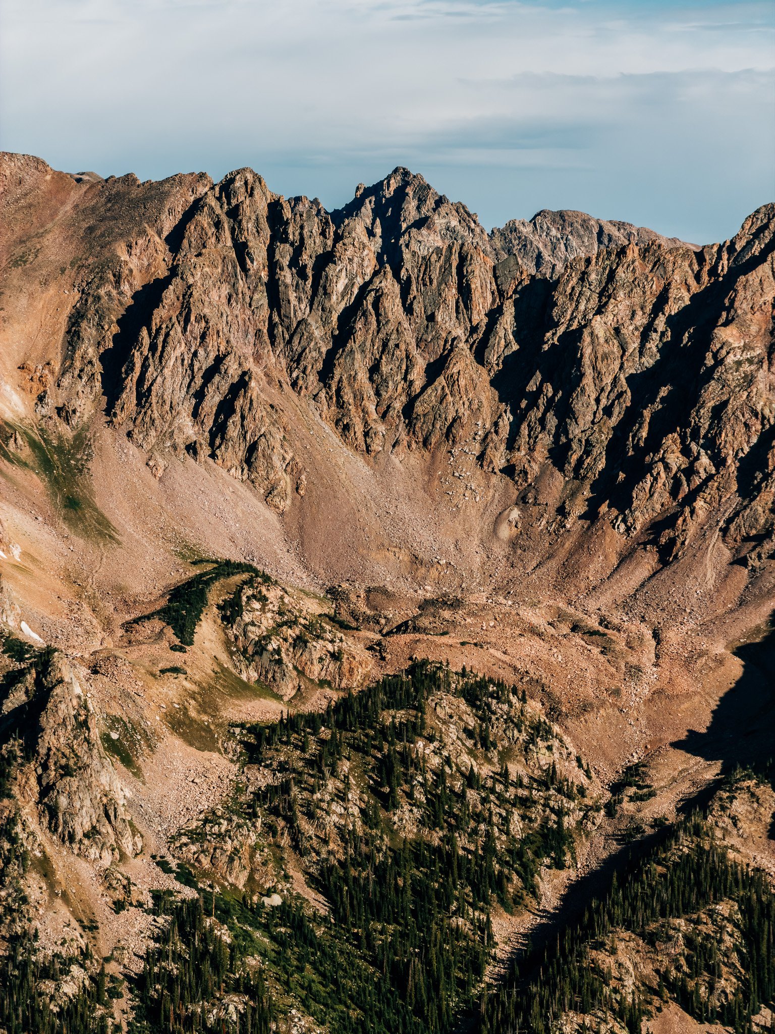
Gore Range, Colorado · 39.62°N 106.11°W
Mount
Buffalo
Buffalo Cabin Trailhead → Boulder Field → North Buffalo → Knife Edge → South Buffalo
- Dist
- 8.0 mi
- Gain
- 3,150′
- Time
- 5:27
The Trail
Fifteen years of driving into Summit County and staring at this mountain from I-70, and I finally went up it. Buffalo Mountain isn't a fourteener — it's not even a thirteener — but the boulder field and the knife edge out to its second summit make it feel like one.
I've spent the past fifteen-plus years visiting Summit County, and one of the first things you see driving in — descending I-70 out of the Eisenhower Tunnel — is the rounded top of Mount Buffalo. It's not a fourteener, it's not even a thirteener, it's twelve-thousand-something, but it stands proudly above Silverthorne, Dillon, and Frisco, visible for miles in every direction. This summer I finally decided to get up there.
I'd heard it was a rugged hike, albeit a short one, but after a few weeks adjusting to altitude and climbing Mount of the Holy Cross the week before, I decided it was time. I set out early — the trailhead fills fast, since it's popular and serves a handful of other hikes in the area — so I got there at 4:30 a.m. and started hiking at 5:00, just as the sky began to turn lighter. Conveniently, it was only a three-minute drive from my Airbnb.

FROM THE TRAIL JOURNAL
Field Notes
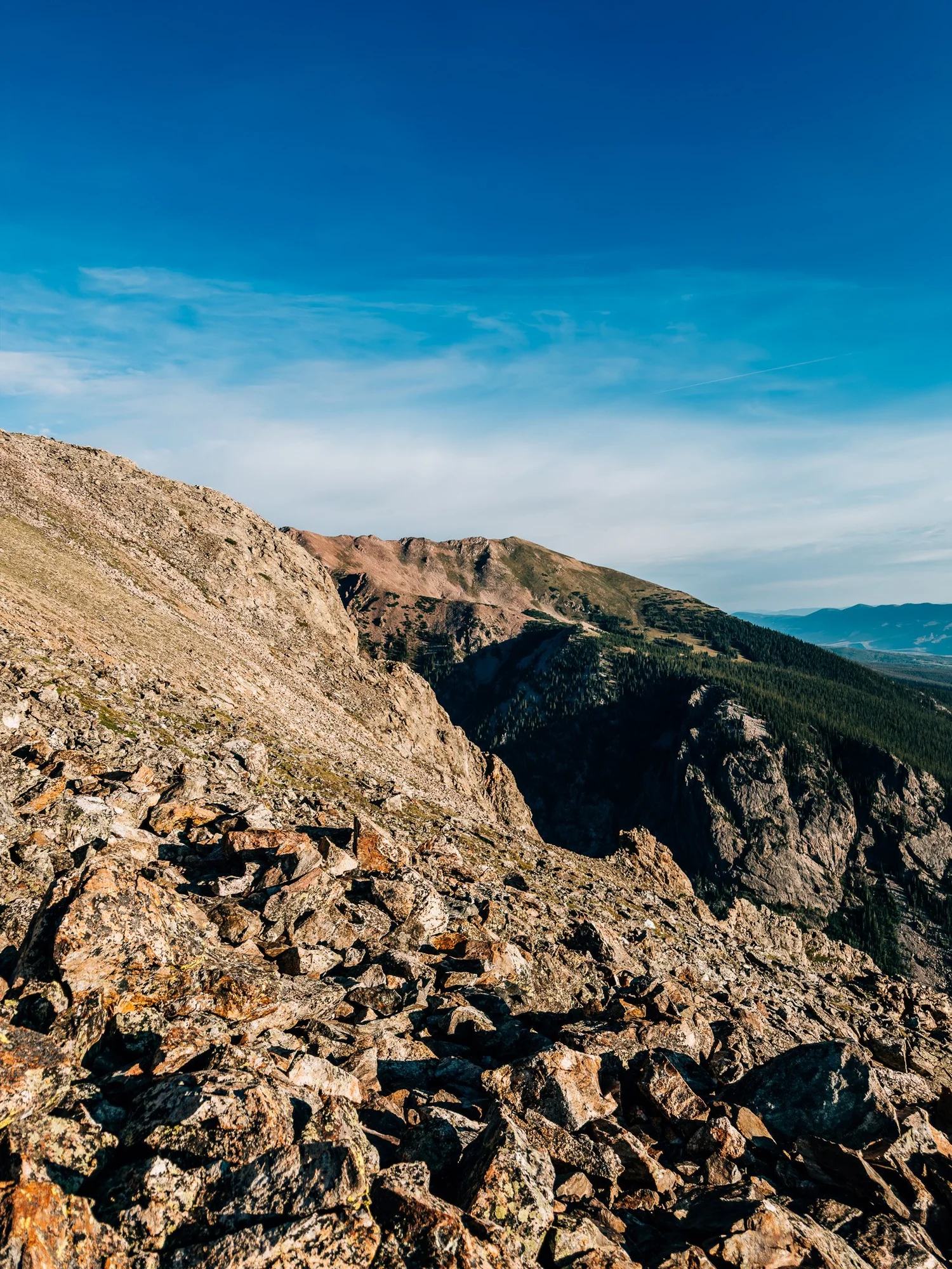
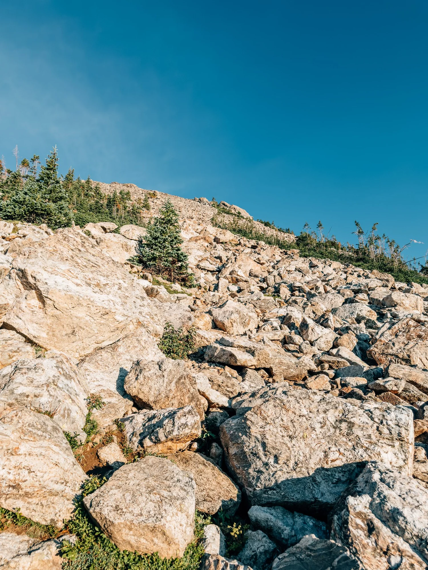
The boulder field is the crux of this hike, and it's not about elevation — it's that the trail basically disappears. There are cairns, and tape tied to a few of them, but with numerous social paths crossing an incredibly steep slope of large boulders, it's genuinely easy to lose the route. I lost it myself more than once and had to backtrack to find my way again.
Take it slow, look for the next cairn before you commit to a line, and expect the ascent to take longer than the mileage suggests.
It's short. It is not fast.
— Anton
Trail Diary
Buffalo Cabin Trailhead
I got to the lot at 4:30 a.m. — it fills quickly, since this is a popular trailhead that also serves a handful of other hikes in the area. Started hiking at 5:00, right as the sky began to turn lighter.
Into the Burn Area
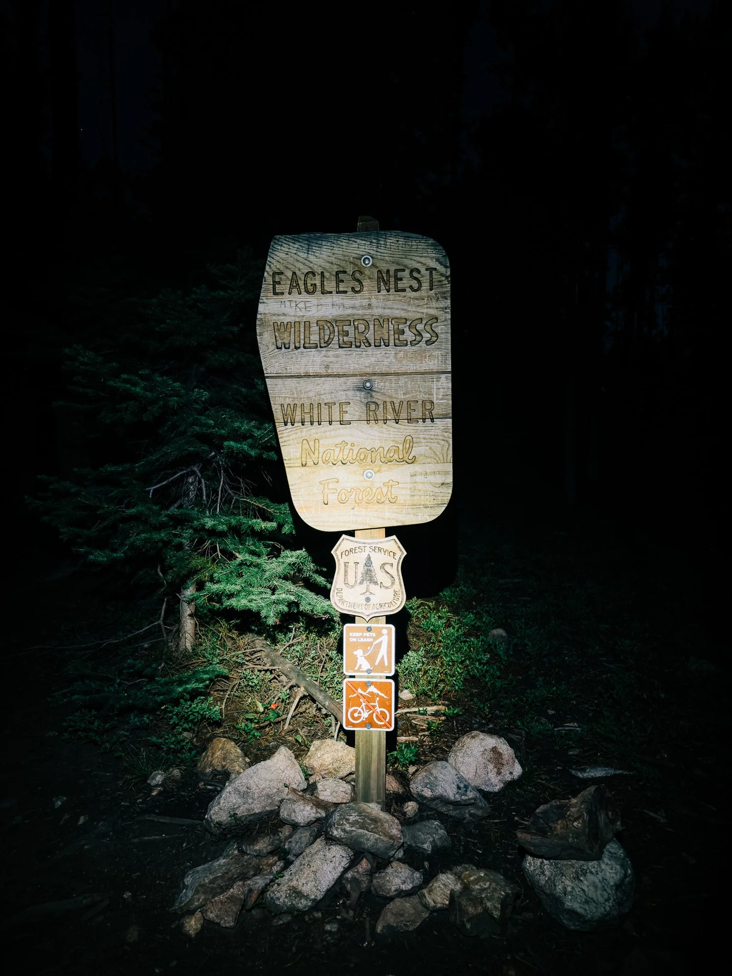
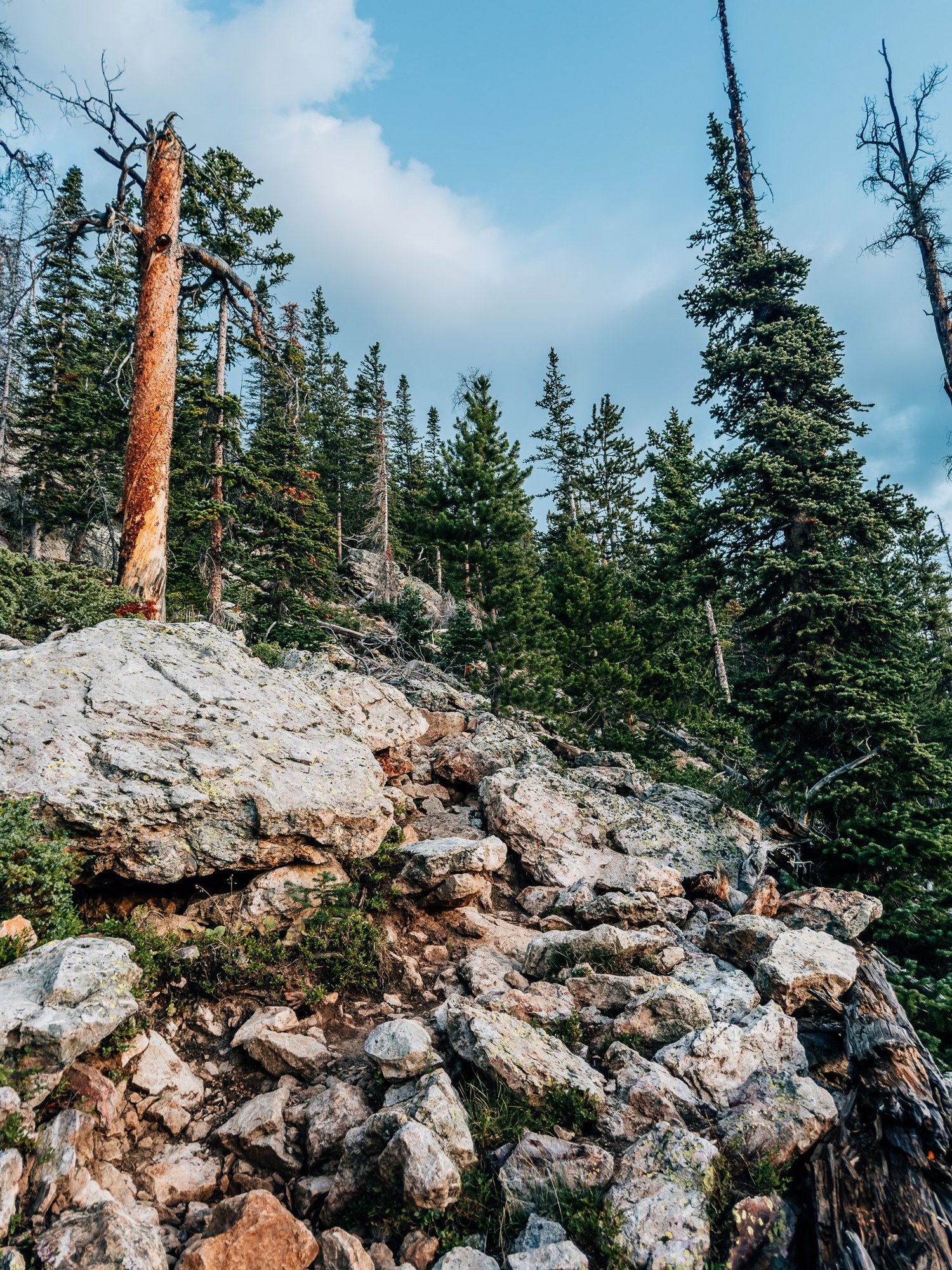
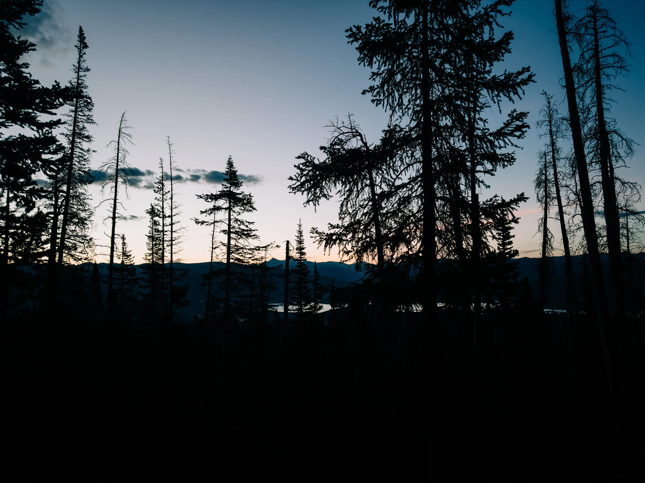
The first part of the hike passes through a large burn scar from the Buffalo Fire a few years back, which came close to taking out half the wilderness. What's left are standing charred trees — a spooky, ominous sight, but a genuinely cool one against a starry pre-dawn sky. Shortly after, I crossed into Eagles Nest Wilderness, and the trail settled into a steady, gradual climb through forest.
First Light
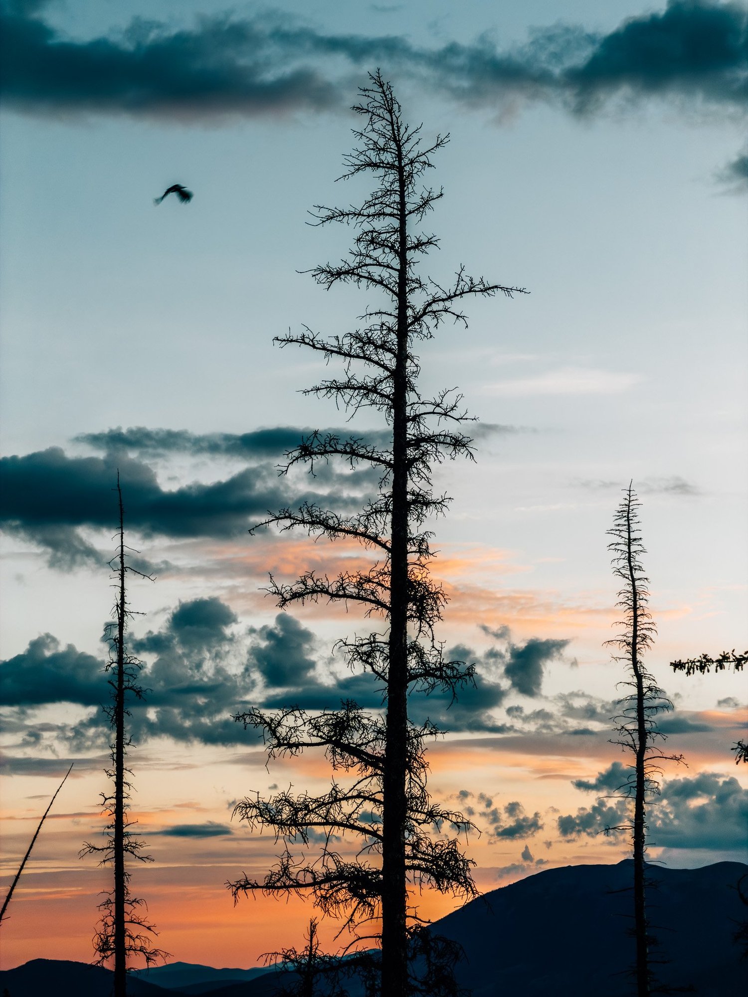
Same as every hike this summer — I got to enjoy first light again, the sky opening up through the burned and standing trees.
Above the Trees
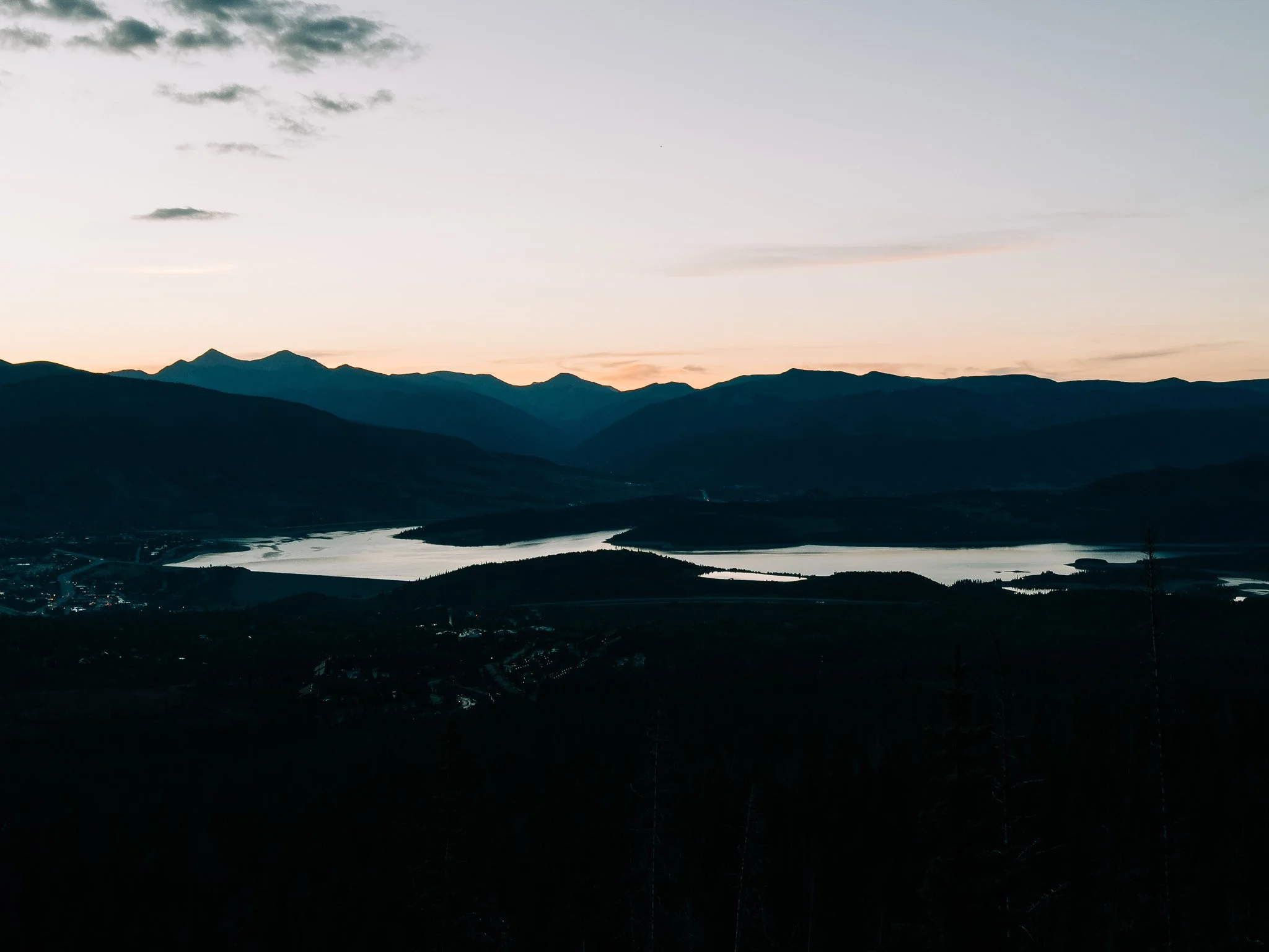
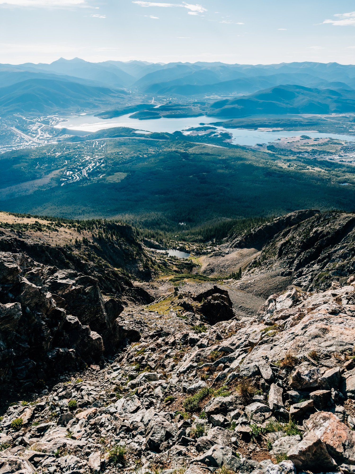
Reached a more rugged part of the trail and started gaining altitude in earnest. From here you could see the surrounding peaks and Dillon Reservoir behind me. It got fully light by 6:20.
The Boulder Field
Reached the infamous boulder field — the hardest part of the hike. The trail is very hard to follow here, despite cairns and tape on some of them. The boulders are large, there are numerous social paths, and the whole thing is incredibly steep. I took a break at 6:37 and enjoyed the morning light before committing to the ascent.
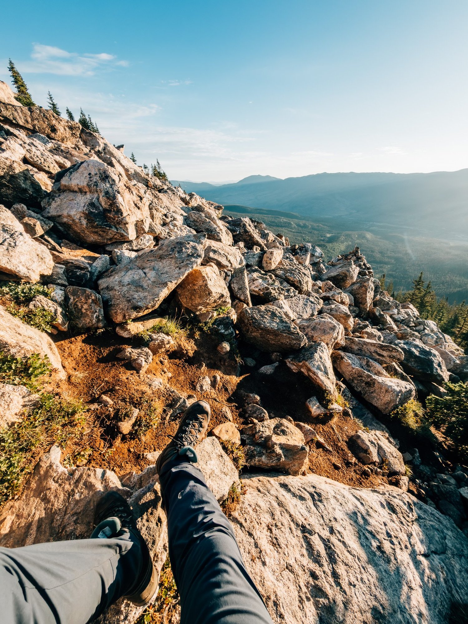
Still Climbing
Still on the boulder field, but a good chunk of it was behind me. I lost the path several times and had to correct my course.
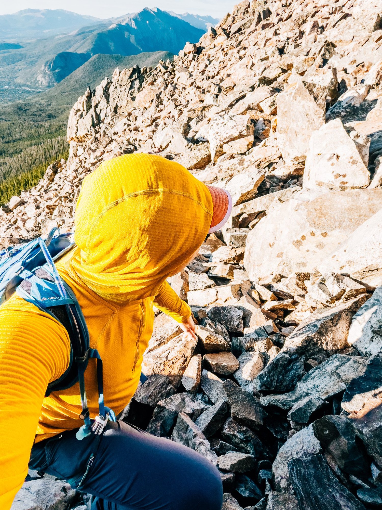
Above the Boulder Field
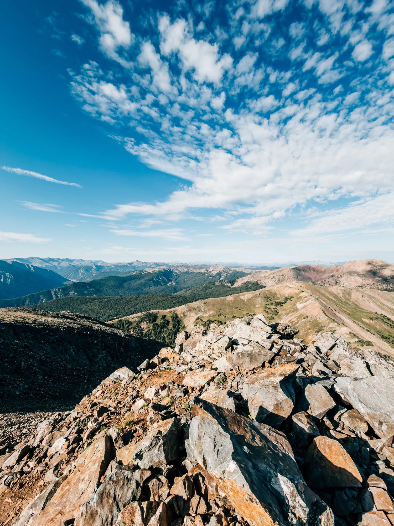
Finally made it above the boulder field and onto a more gradual final stretch toward the summit — noticeably easier once the rugged part was behind me. I could see the summit in the distance now, and my pace picked up.
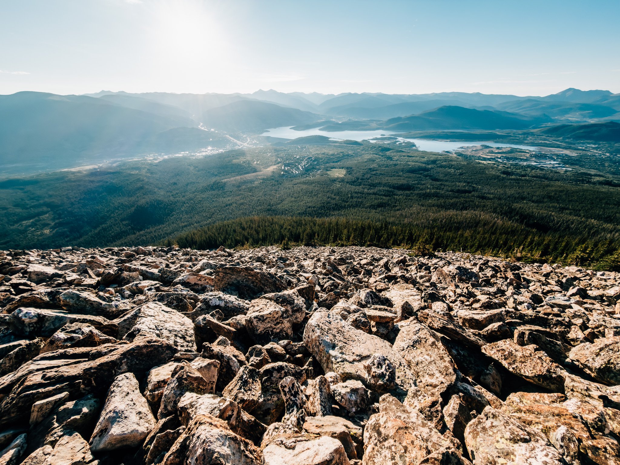
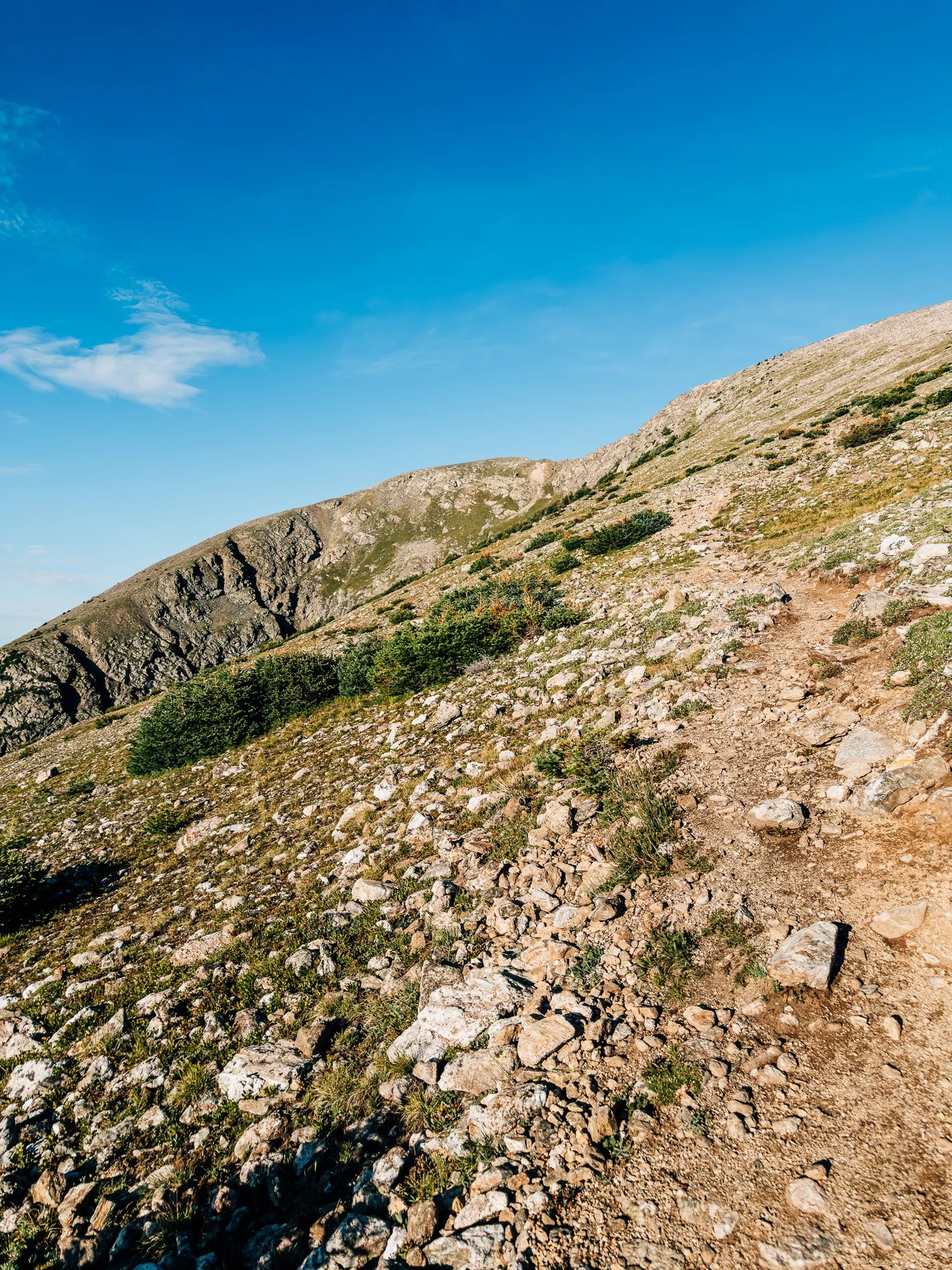
North Buffalo Summit — 12,777 ft
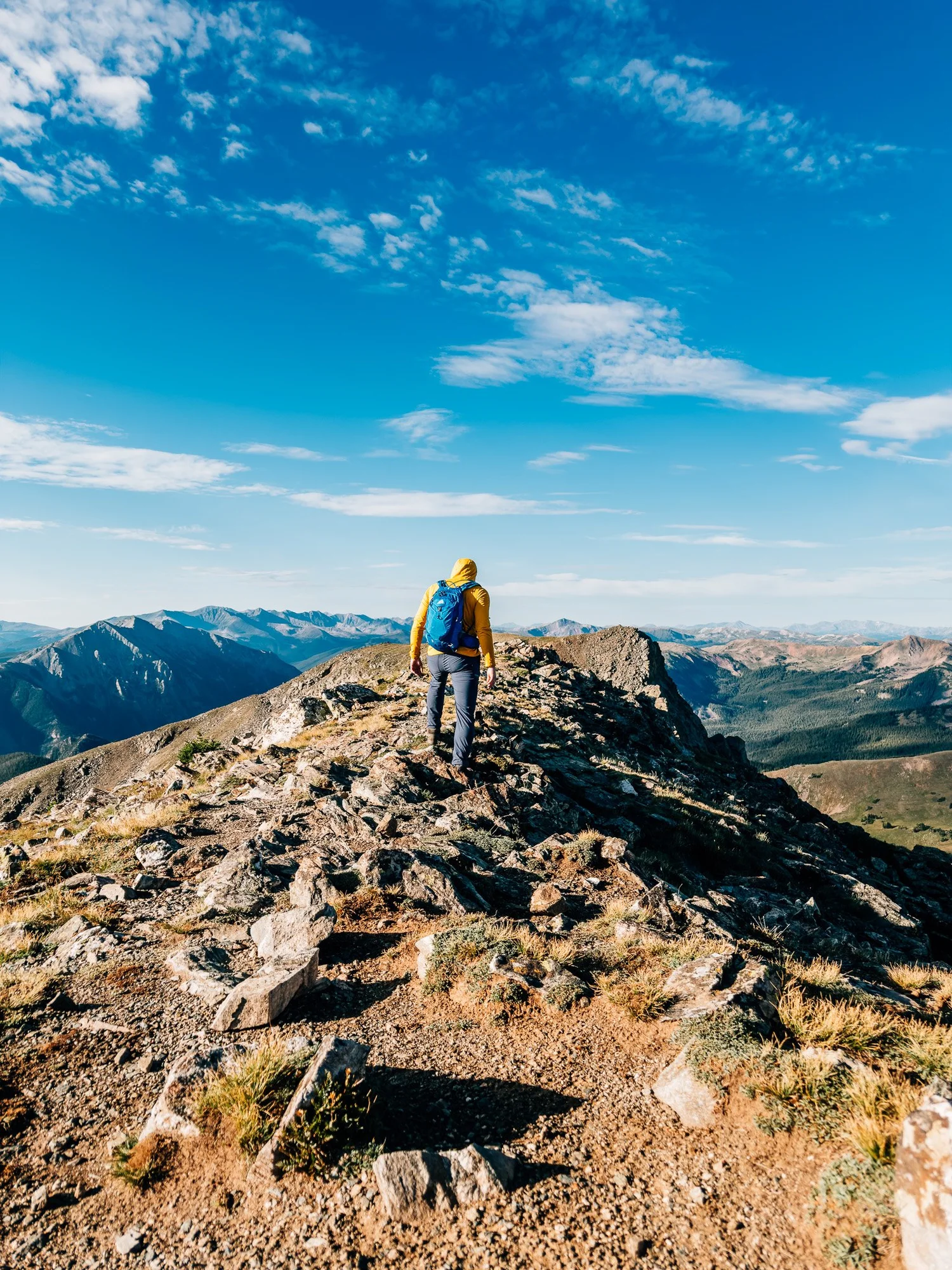
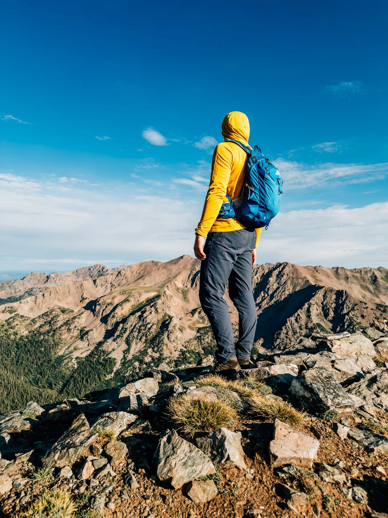
Reached the North Summit at 7:53. Took in the surrounding views and sat with the question of whether to commit to the Class 3 knife edge over to the South Summit in the distance. I decided to do it — if I'm going to hike Colorado's Class 3 and Class 4 fourteeners eventually, I'll need the practice.
The Knife Edge
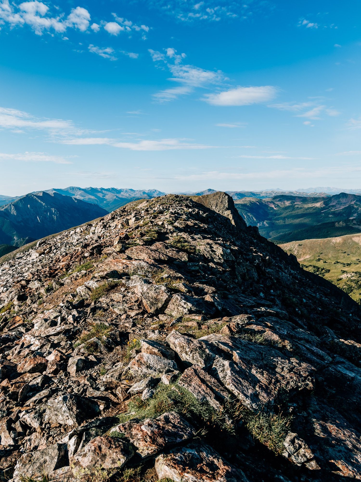
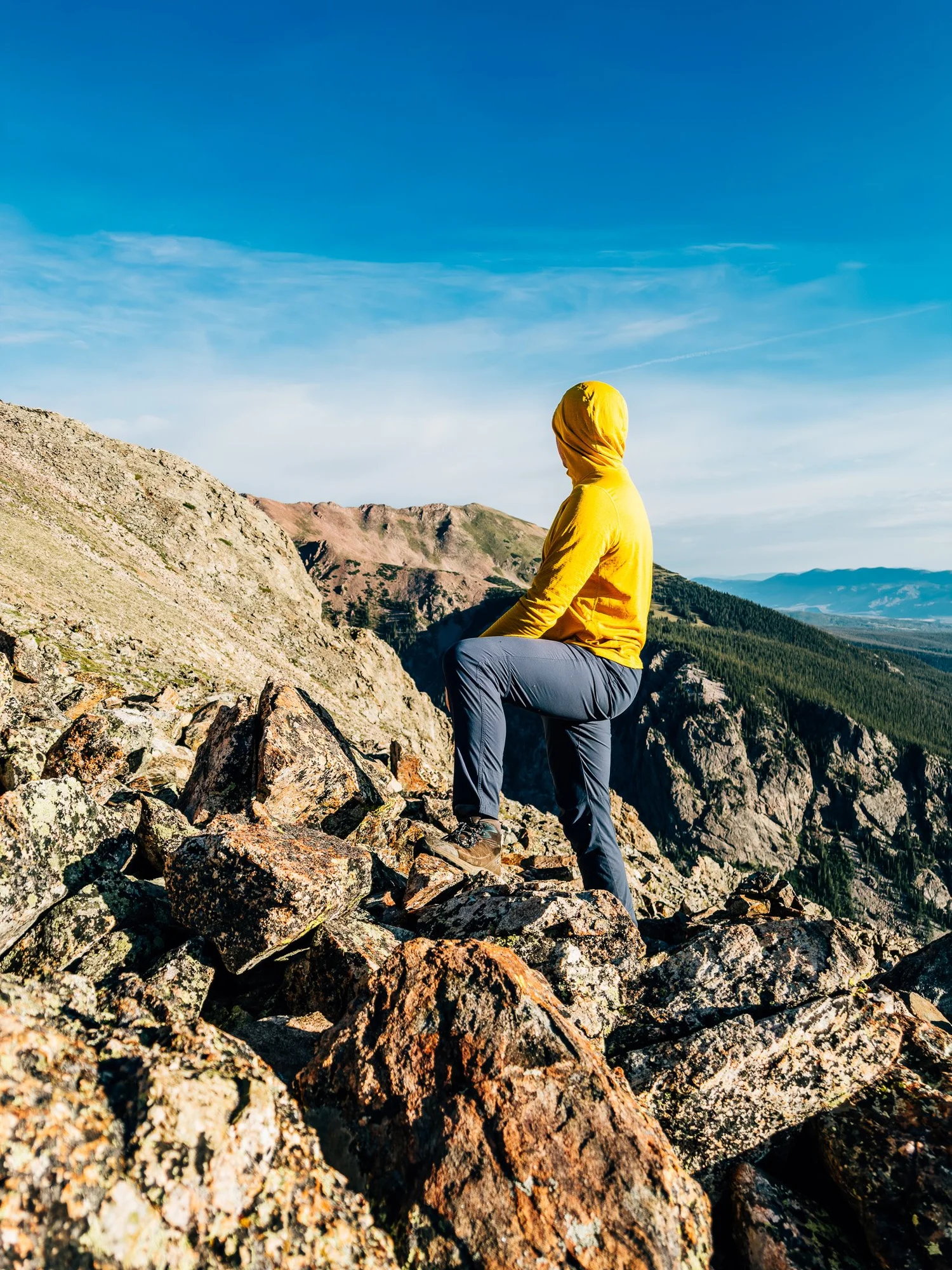
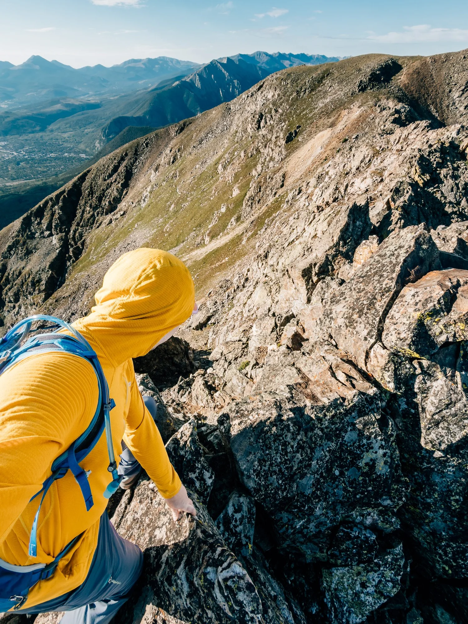
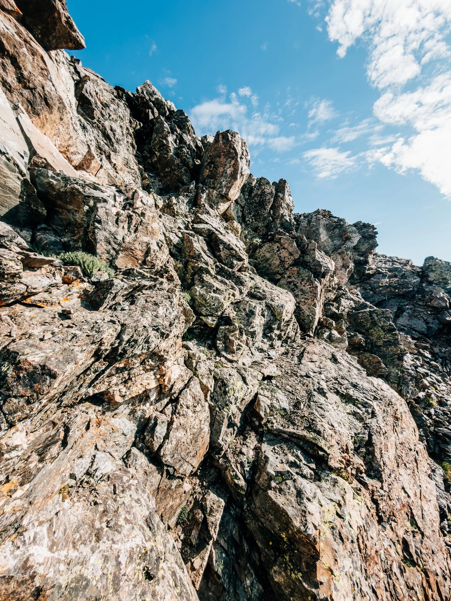
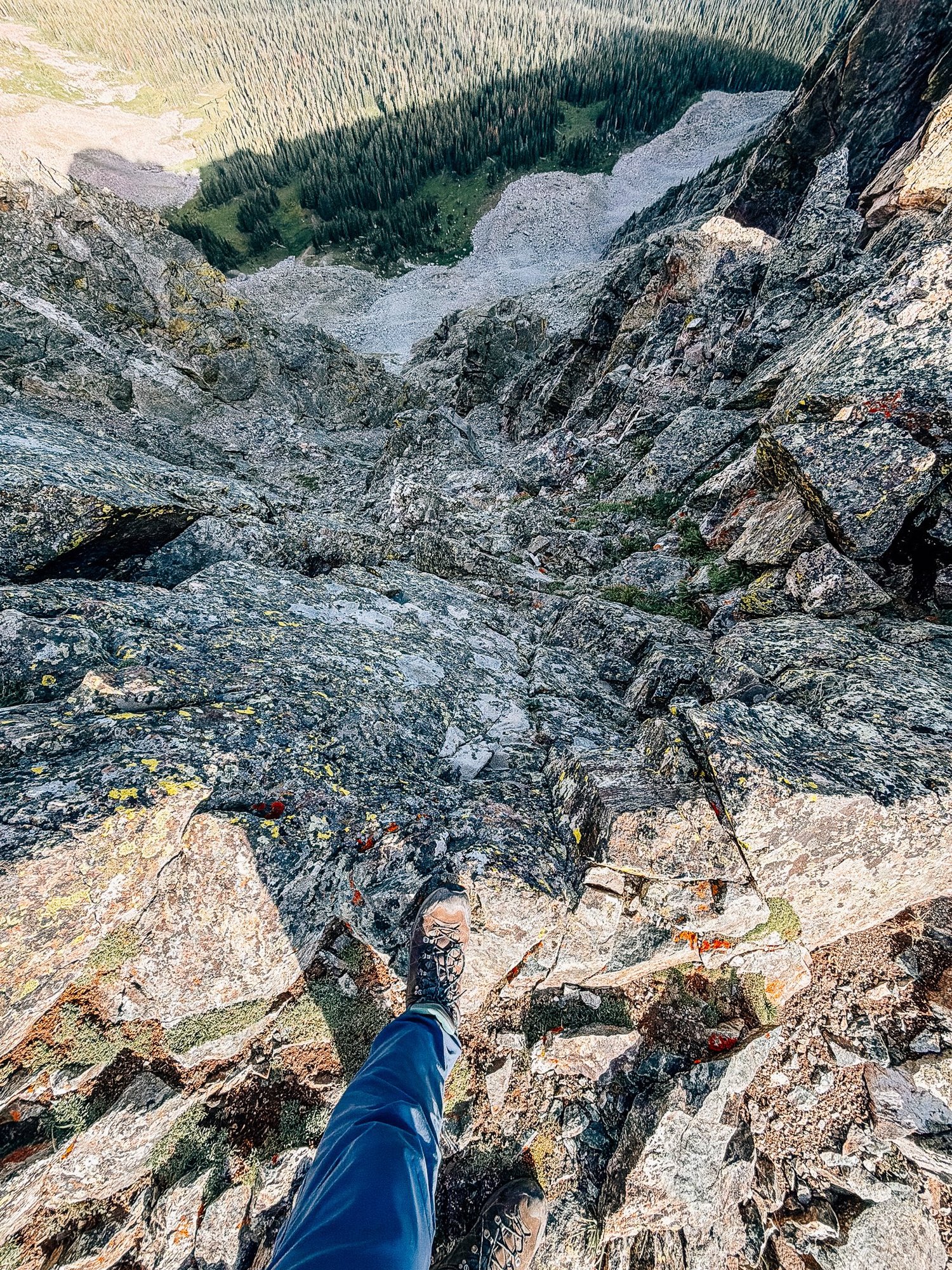
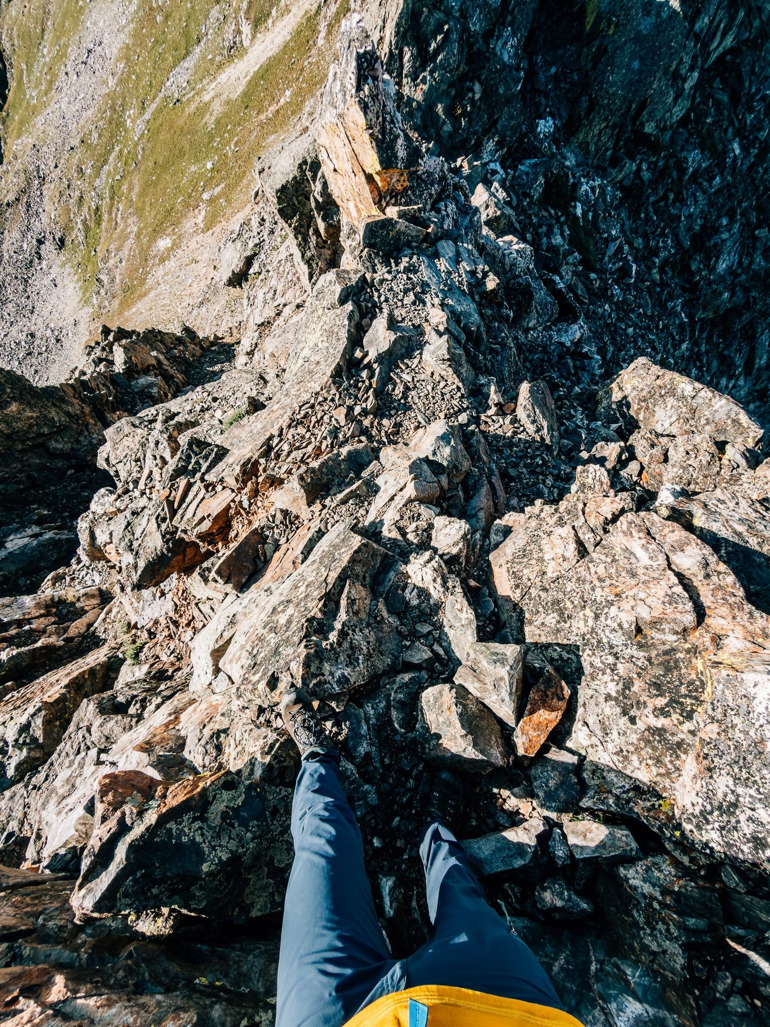
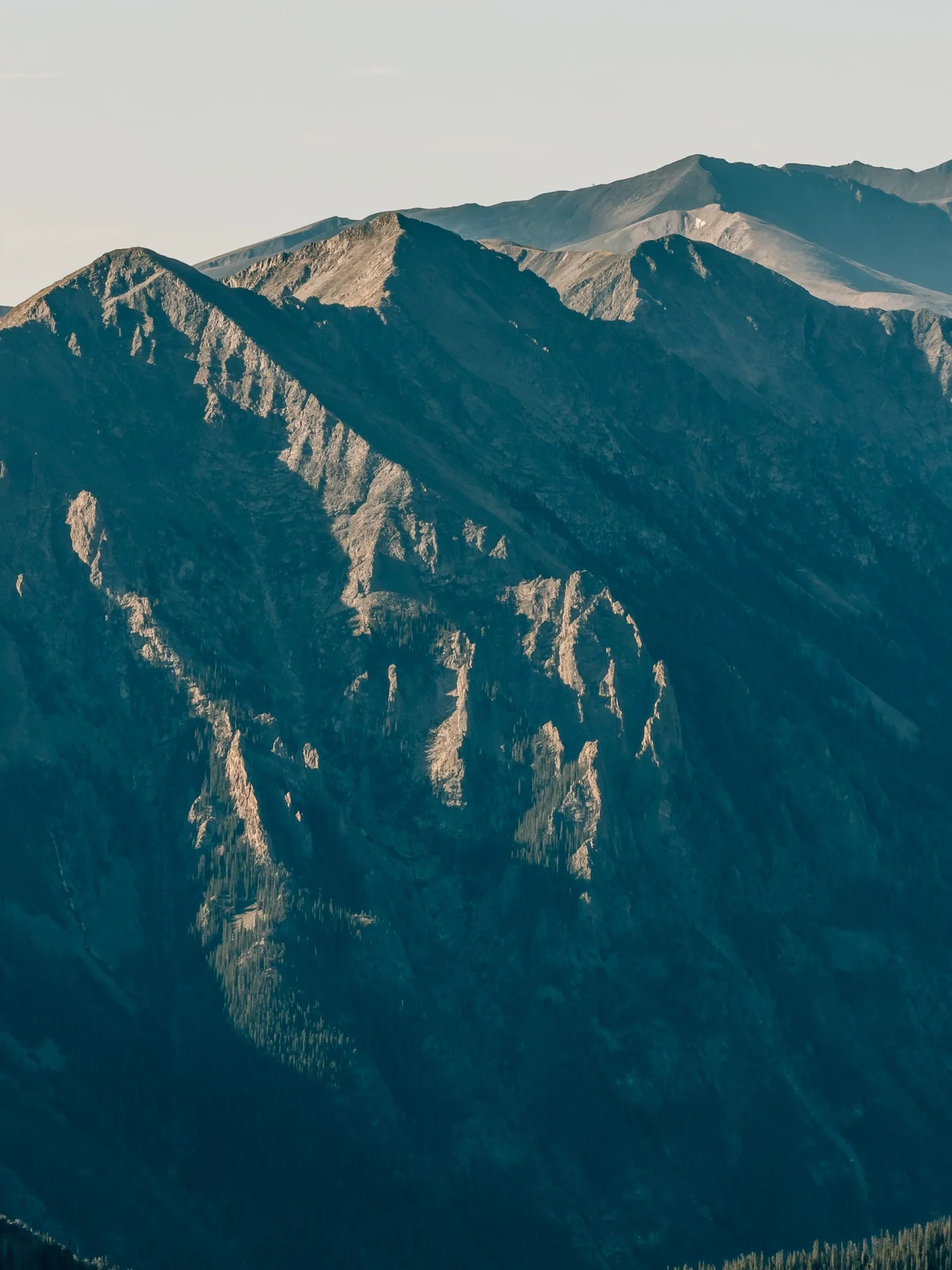
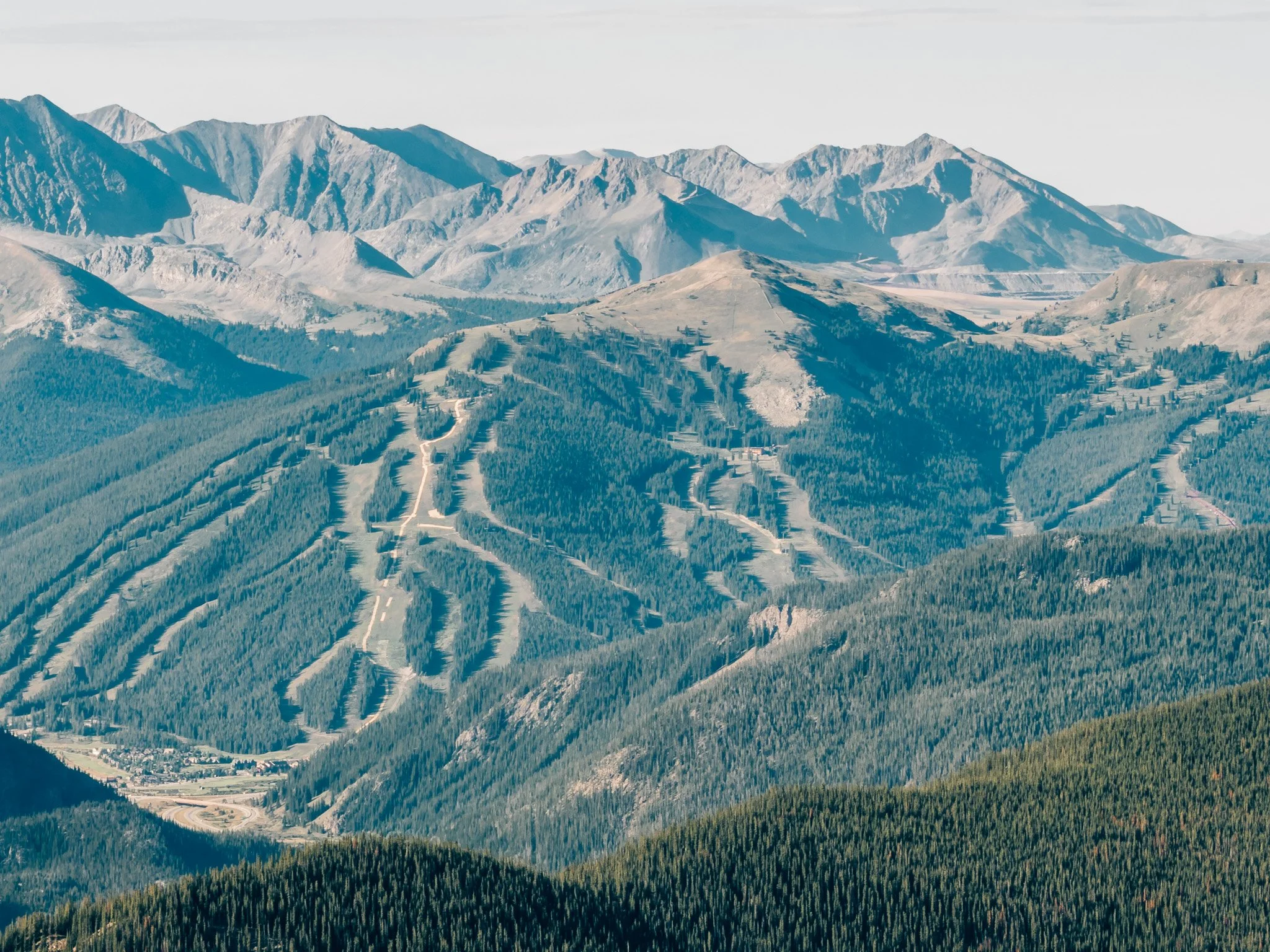
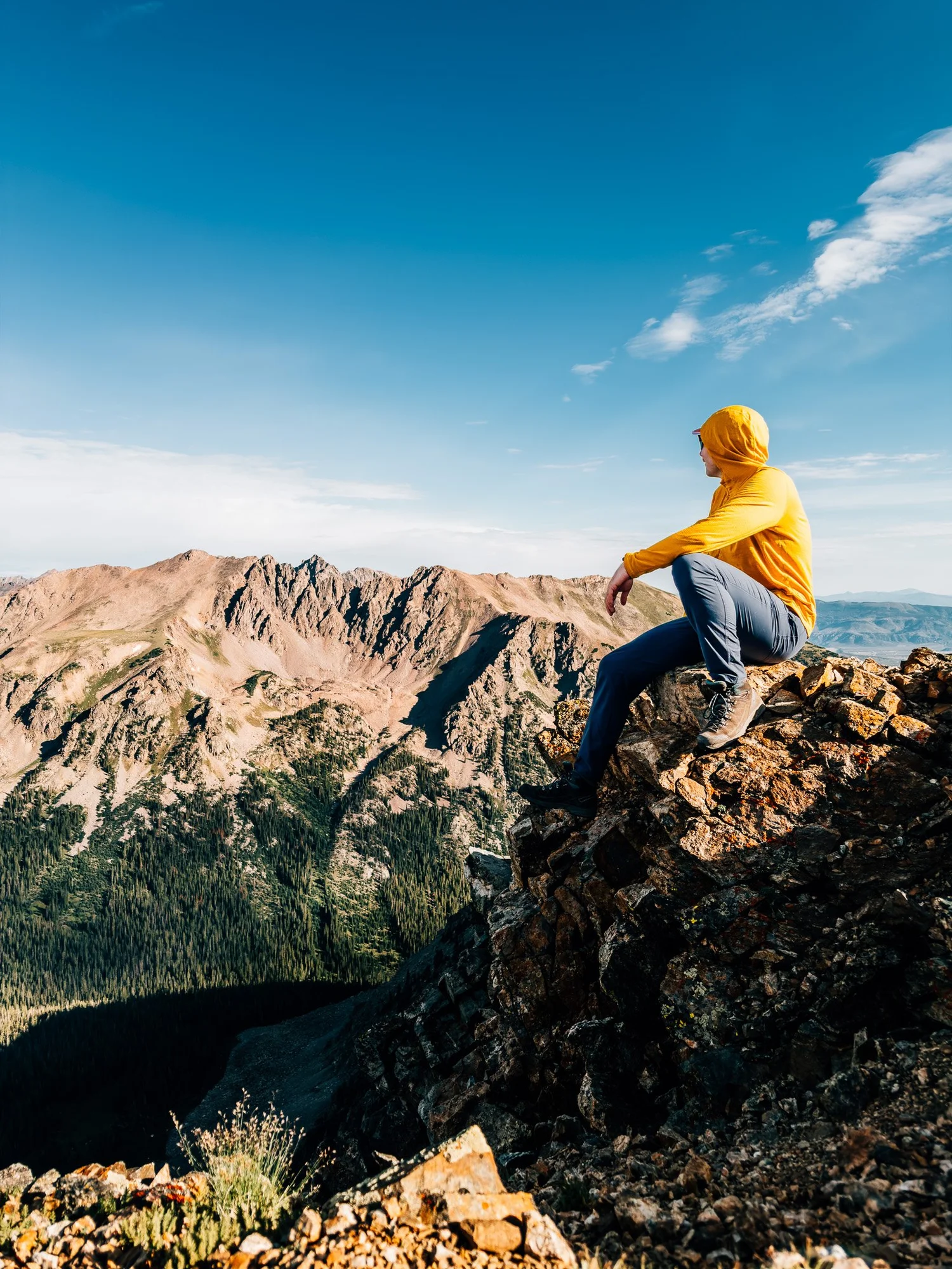
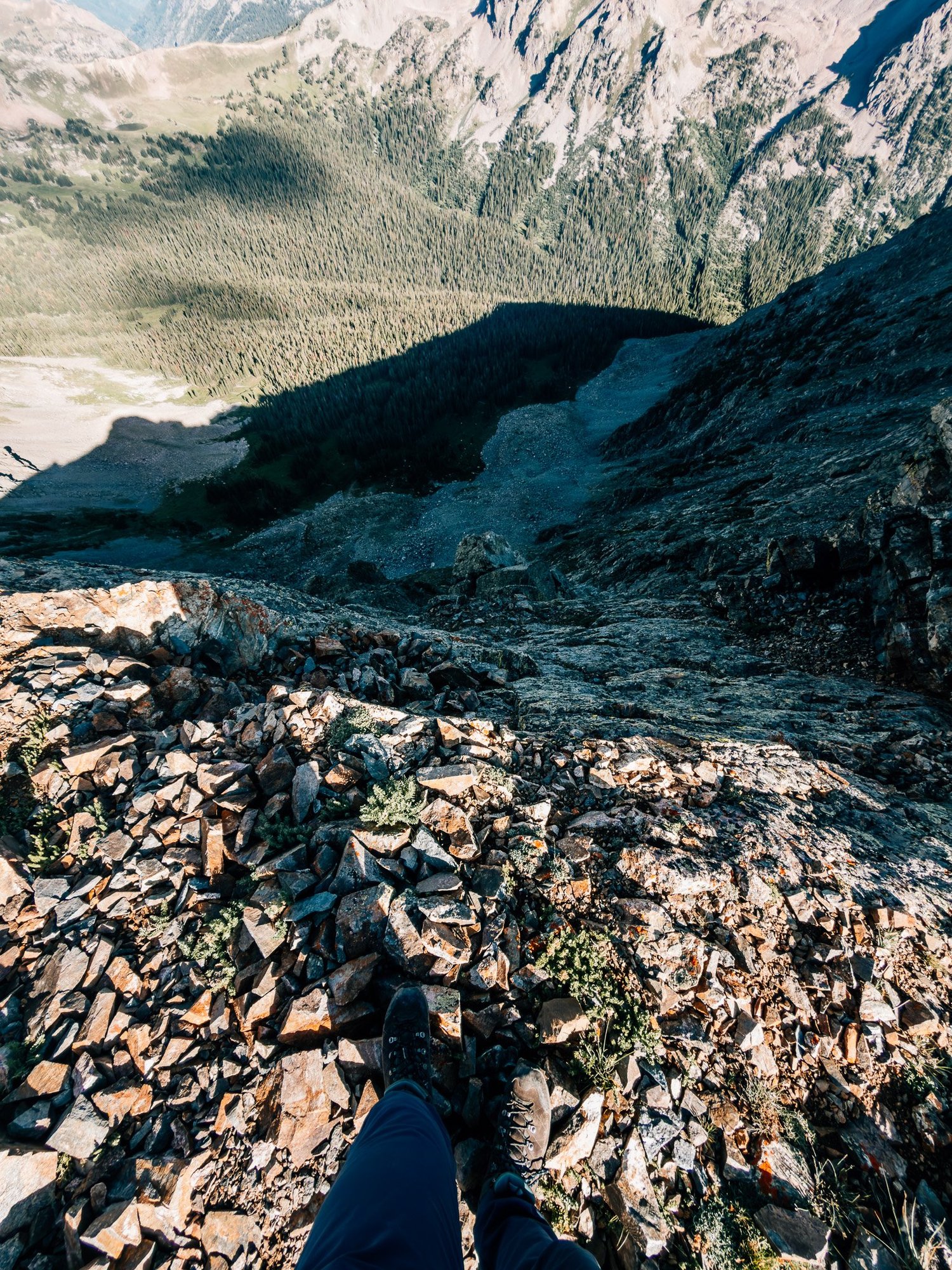
The key on a route like this is to take it slow, read your line ahead of time, and keep your footing steady. The exposure here was real — sharp drop-offs on both sides, and quite a bit of scrambling. From up here I could see Copper Mountain in the distance, and the Ten Mile Range sitting in the morning haze.
South Buffalo Summit
Reached the South Summit at 8:24 and took in a 360-degree view of Eagles Nest Wilderness, the Gore Range, the Ten Mile Range, and Dillon Reservoir behind me.
Back at the Trailhead
I took some time on South Buffalo before starting back — same knife edge, same boulder field, all in reverse. Made it back to the car by 10:30 a.m., about 5 hours and 27 minutes and 8 miles after starting. Short by Colorado standards, and one of the more genuinely engaging days I've had — the boulder field for the route-finding, the knife edge for the exposure.
Hike Summary
- Name
- Mount Buffalo (Buffalo Mountain)
- Location
- Gore Range, Eagles Nest Wilderness, CO
- Route
- Buffalo Cabin Trailhead → Boulder Field → North Buffalo → Knife Edge → South Buffalo (out & back)
- Distance
- 8.0 miles
- Elevation Gain
- ~3,150 feet
- Total Time
- 5 hrs 27 min
- Class
- Class 2 (North Buffalo) · Class 3 (South Buffalo)
- Access
- Paved lot. Fills early, even on weekdays.
Trail Features
What you'll find along the way —
-
01
The Burn Area
Standing charred trees from the Buffalo Fire, eerie and striking against a starry pre-dawn sky.
-
02
Easy Access to Summit County
A paved trailhead minutes from Silverthorne, Dillon, and Frisco — no 4WD road required to get started.
-
03
The Knife Edge
A Class 3 ridge traverse to South Buffalo, with real exposure and drop-offs on both sides.
-
04
Twin Summits
North and South Buffalo, connected by the ridge, with 360° views of the Gore Range, the Ten Mile Range, and Dillon Reservoir.
Recorded with Strava
Open Activity Recorded with Strava