Mount of the Holy Cross – Trail Guide & Trip Report (Sawatch Range, Colorado)
Sawatch Range, Colorado · 39.50°N 106.43°W
Mount of the
Holy Cross
Half Moon Trailhead → Half Moon Pass → East Cross Creek → North Ridge
- Dist
- 13.9 mi
- Gain
- 5,600′
- Time
- 9:46
The Trail
Mount of the Holy Cross doesn't have a single technical move on it, and it was still one of the longest days I've had on a Colorado summit push. Half Moon Pass makes you climb the same thousand feet twice — once fresh, once on the way back exhausted. Fourteener number twenty.
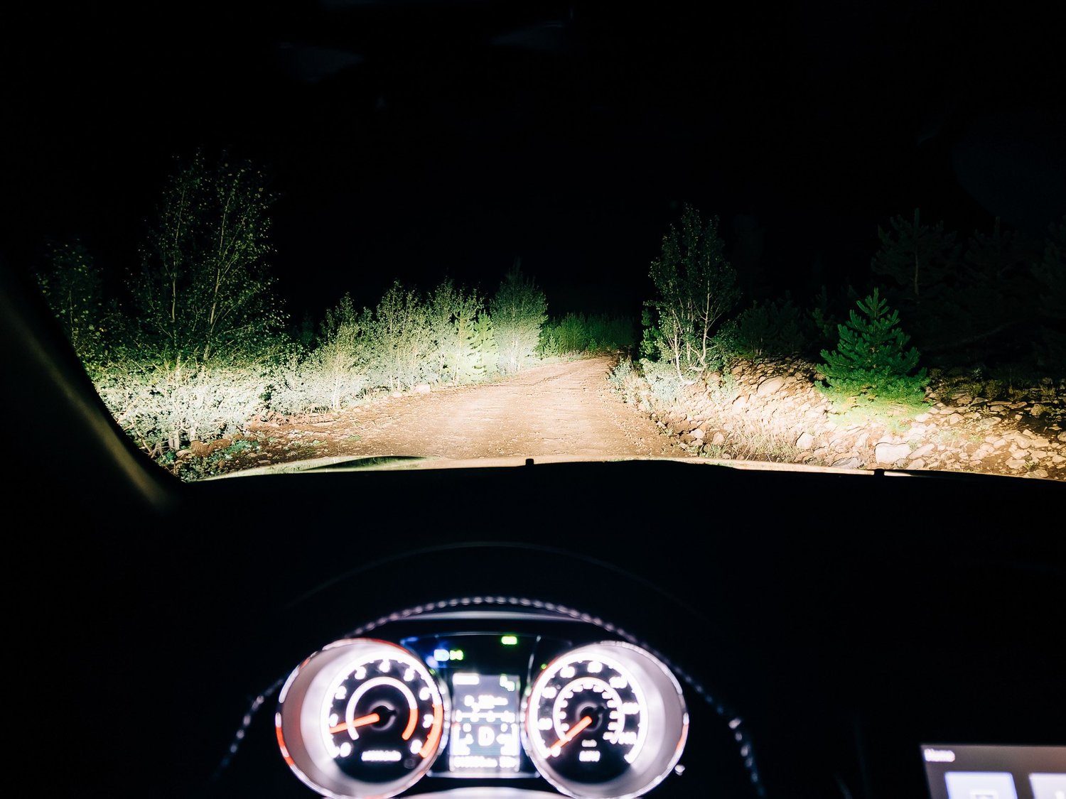
From Silverthorne, where I've been based for the summer, it's a little over an hour up and over Vail Pass to reach Mount of the Holy Cross — one of the shorter drives on my list this year. I turned onto the dirt road toward the trailhead a little after 4 a.m. That road gets listed everywhere as a well-maintained two-wheel-drive route, and it is two-wheel drive — the "well-maintained" part is generous.
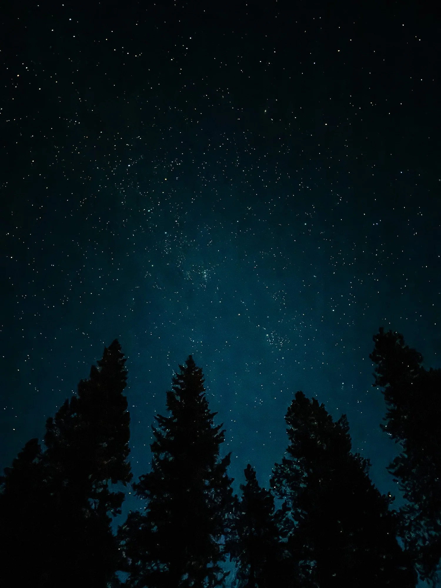
In a rental car, you can get away with a lot on a road like that. In my own car, I'd have picked my way up slowly, babying it over the washouts. Luckily my van was in the shop for the week, so I had a rental under me and made it to the trailhead lot quickly, stepping out at 4:35 a.m. into a genuinely beautiful night sky.

FROM THE TRAIL JOURNAL
Field Notes
Every guide calls Mount of the Holy Cross non-technical, and it is — Class 2 the whole way, nothing that needs hands more than the occasional boulder. What they undersell is the shape of the route. To reach the mountain at all, you first climb roughly a thousand feet up to Half Moon Pass, then give almost all of it back on the way down into the valley — before the real climbing has even started.
From the pass itself you can't see the summit. You see Notch Mountain and the ridgeline around it, which is disorienting the first time, because it looks like the objective. Holy Cross doesn't show itself until you're well past the pass and dropping toward East Cross Creek.
Budget for two mountains, not one — you'll re-climb the pass on tired legs at the end of the day.
— Anton
Trail Diary
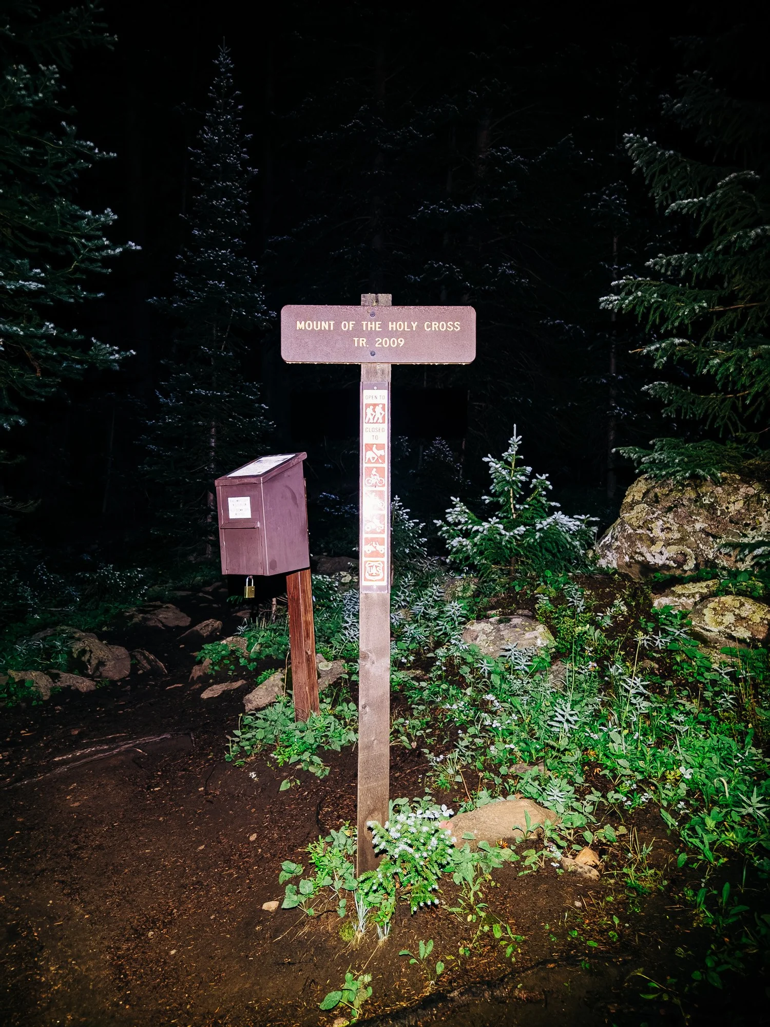
Half Moon Trailhead
It was a chilly morning. Dew covered every aspen and spruce branch along the first stretch of trail, dusting them with something that felt almost like fresh snowfall.
First Light
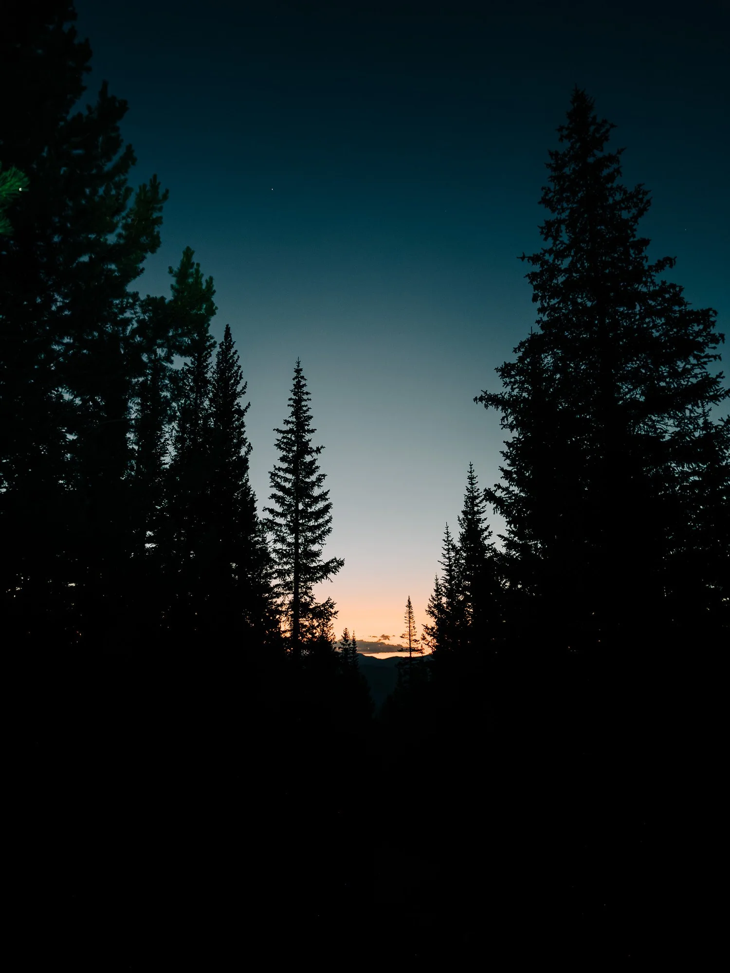
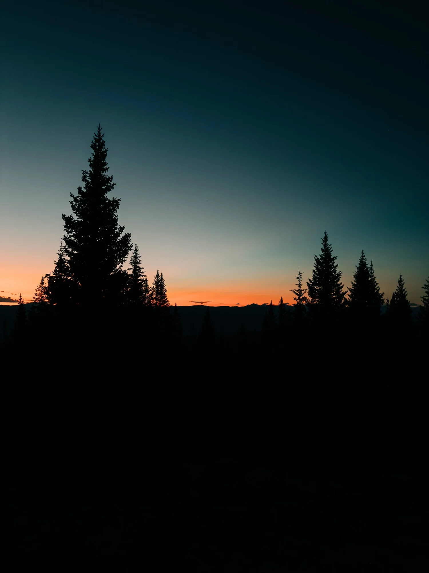
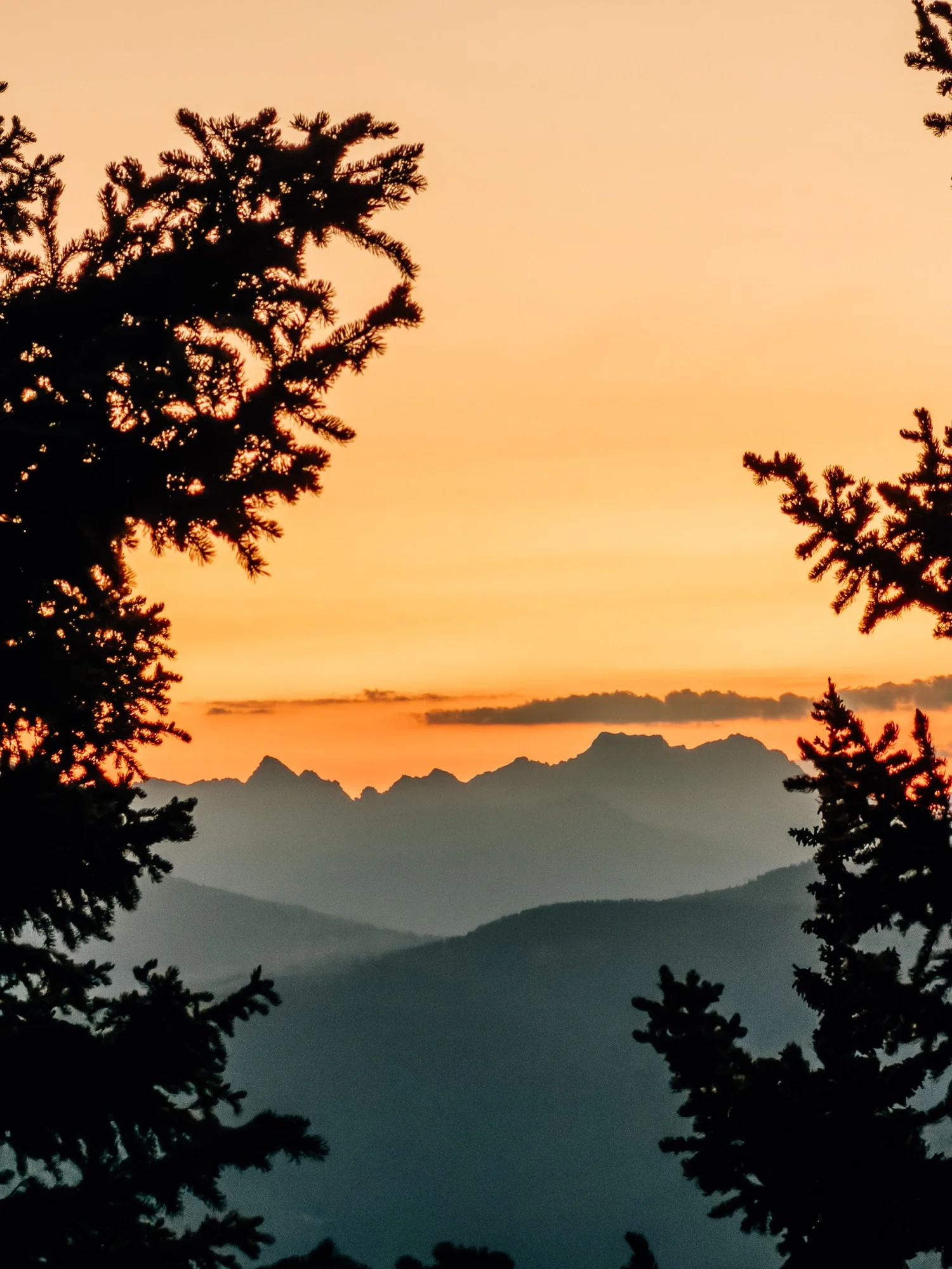
It wasn't long before the sky started to go. By 5:04 the horizon was lighting up, and I couldn't help myself — I kept stopping to shoot the evergreens silhouetted against all that contrast. By 5:30 I'd broken above treeline.

Half Moon Pass
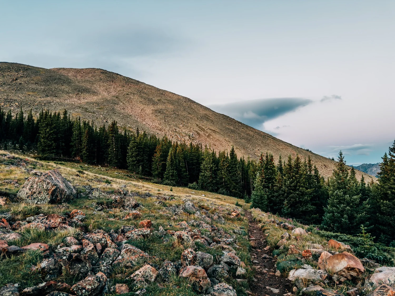
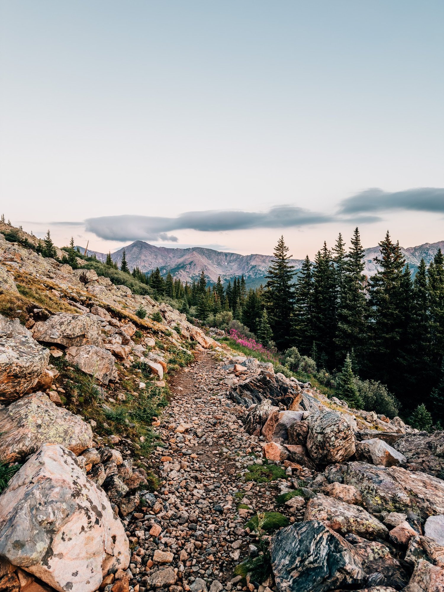
Reached Half Moon Pass at 5:46. You can't see the summit from up here — it's a little misleading, because you see surrounding peaks, just not the one you came for.
First Glimpse of the Summit
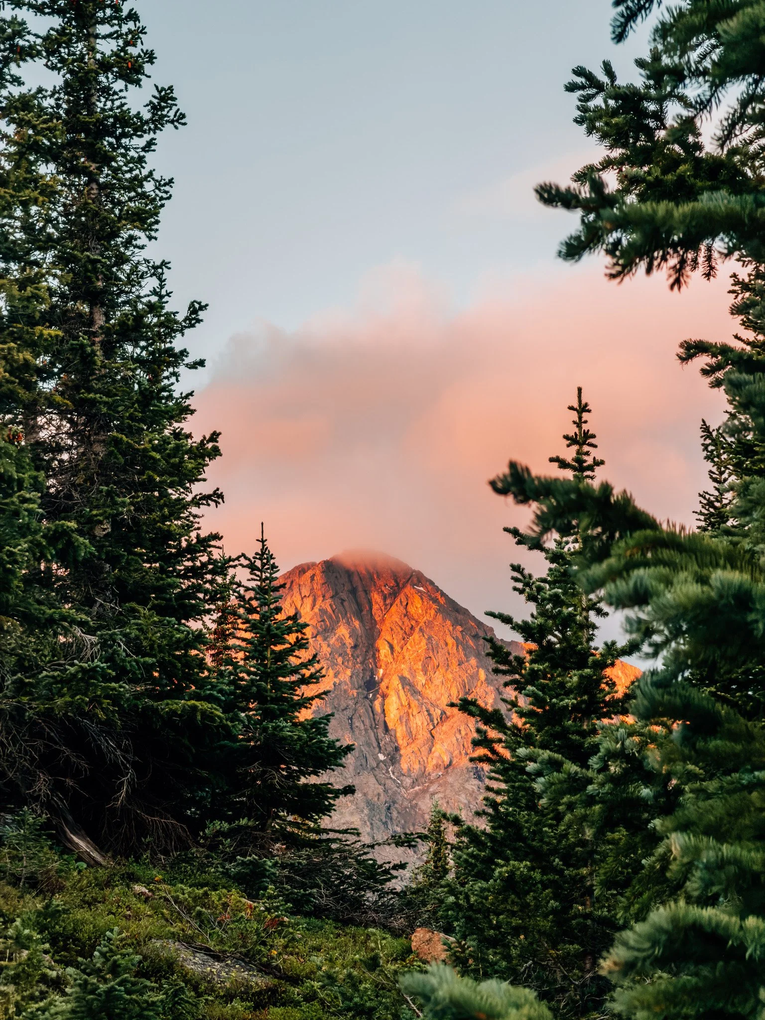
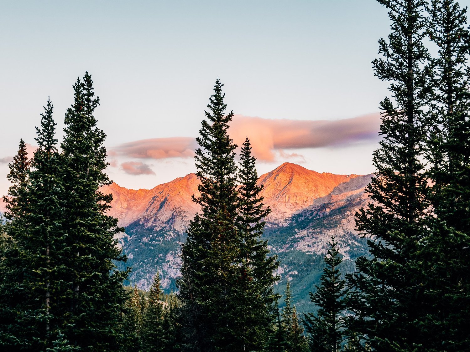
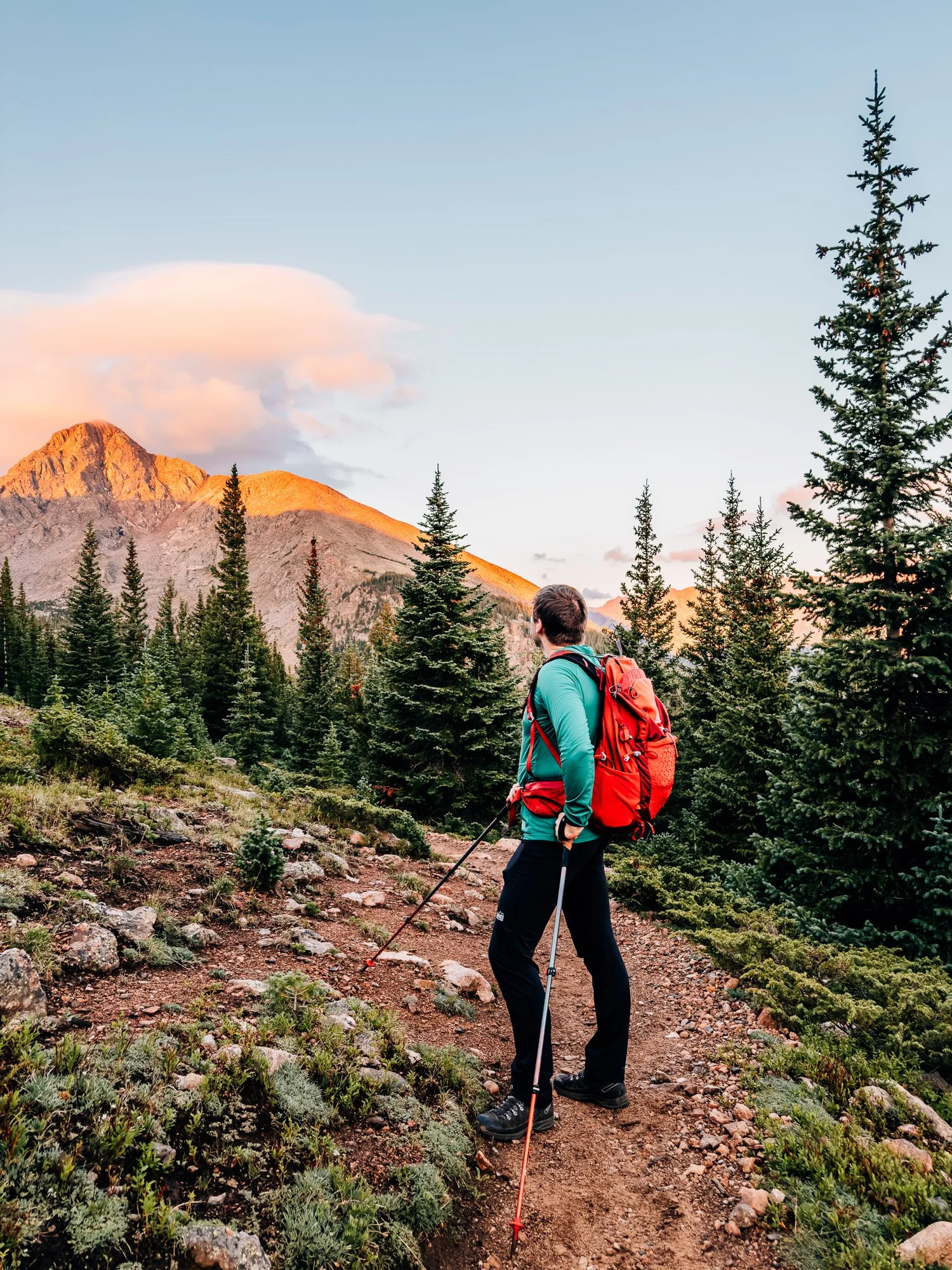
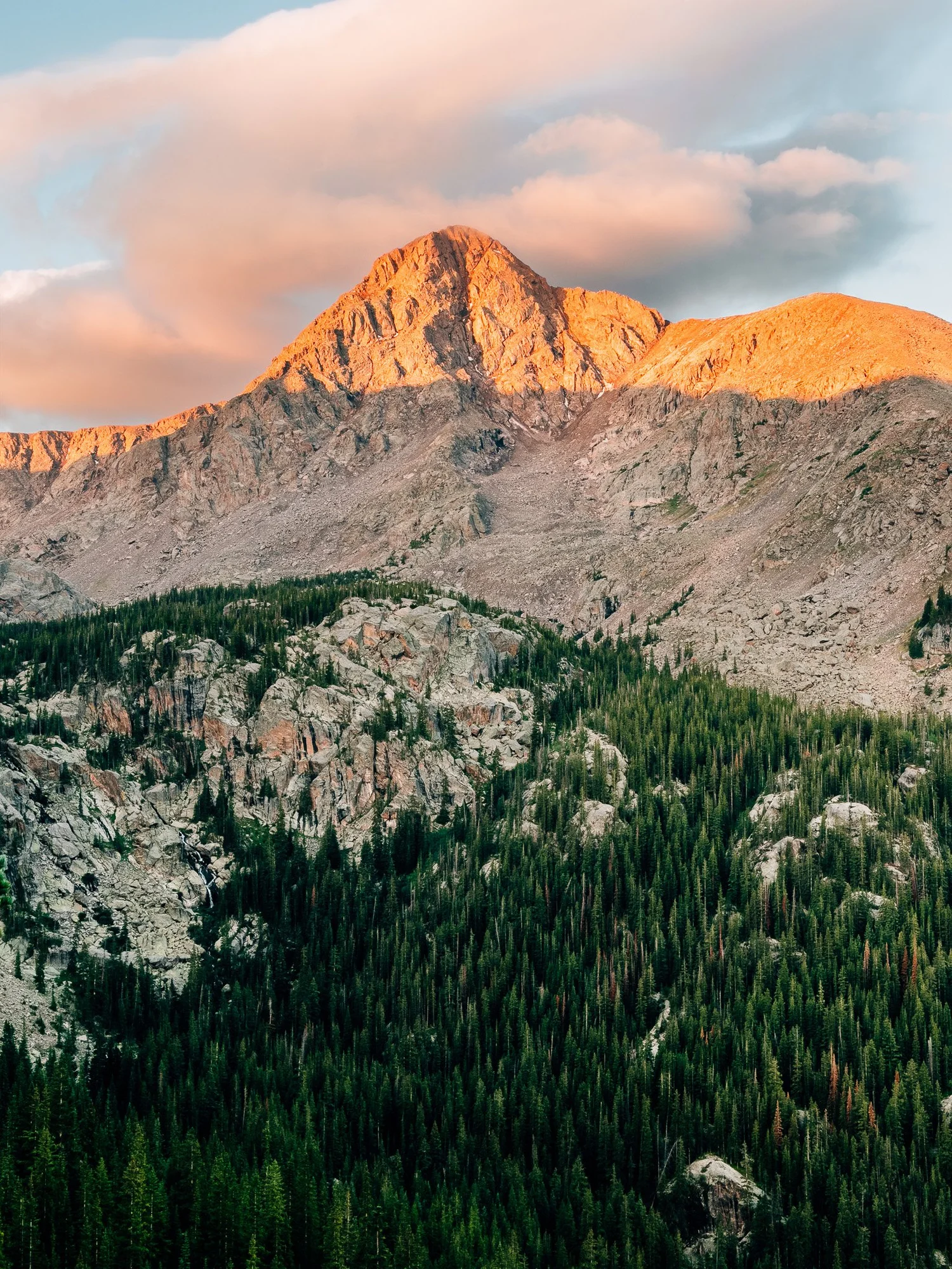
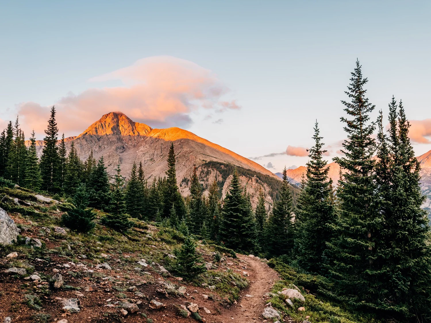
Rounding the corner past the pass, I got my first look at Holy Cross. Alpenglow was just starting to catch the summit and the peaks around it, lighting up a real show. I wasn't in a rush — with a start this early, and knowing I'd need the energy later, I let myself slow down and just take in the morning.
East Cross Creek
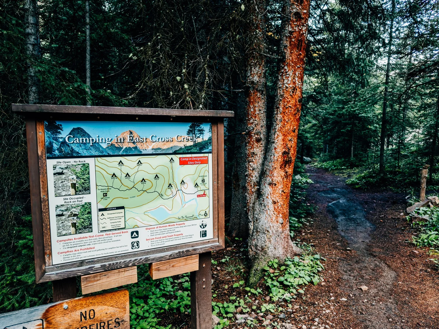
Started down off the pass at 6:13, dropping into the valley, and reached the bottom — East Cross Creek — by 6:28. It's a popular backcountry camping area, with more established sites tucked in through there than I expected; Colorado always has more backcountry camping than I remember it having. I was glad to be doing this as a day hike — the crossing and the boggy ground down there was a slog.
Onto the North Ridge
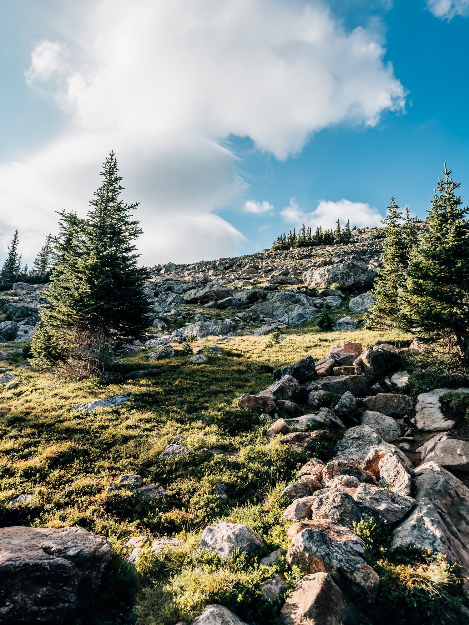
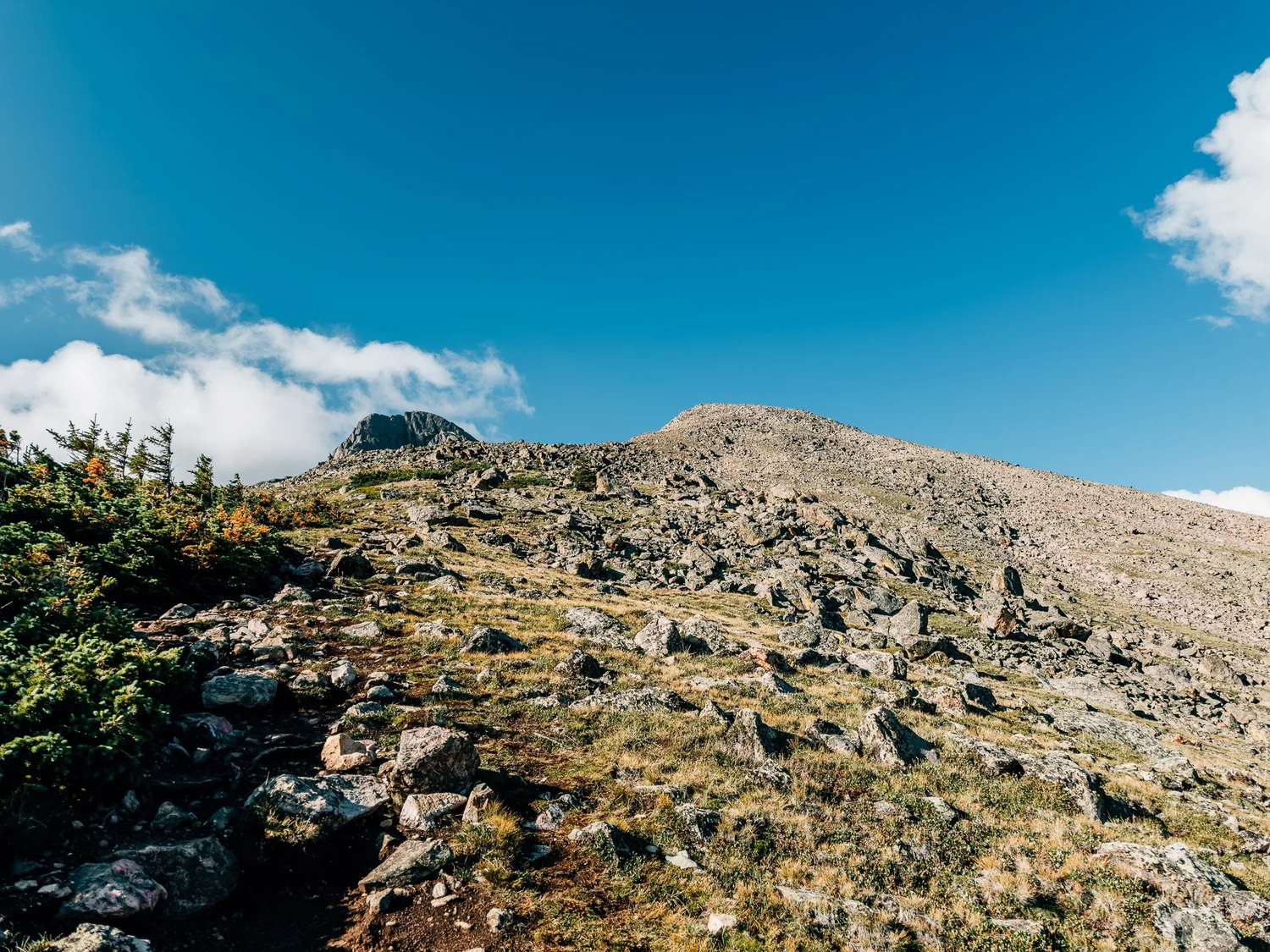
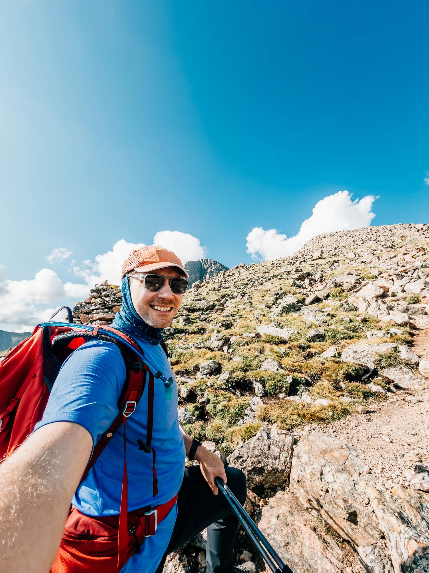
By 7:49 I was climbing again, up toward the ridge that carries the route to the summit. Everything changes here — the trail down through Half Moon Pass is well-packed single track, but from East Cross Creek up it turns rugged fast, boulder after boulder. I caught my first glimpse of the summit from the ridge at 8:23, just peeking over the top. So close, and yet still so far.
The Snow Patch
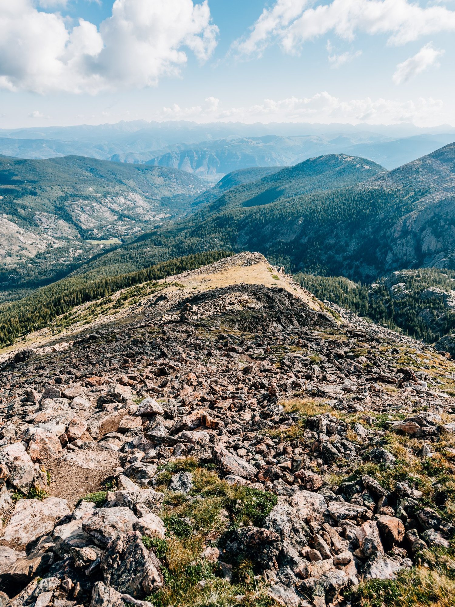
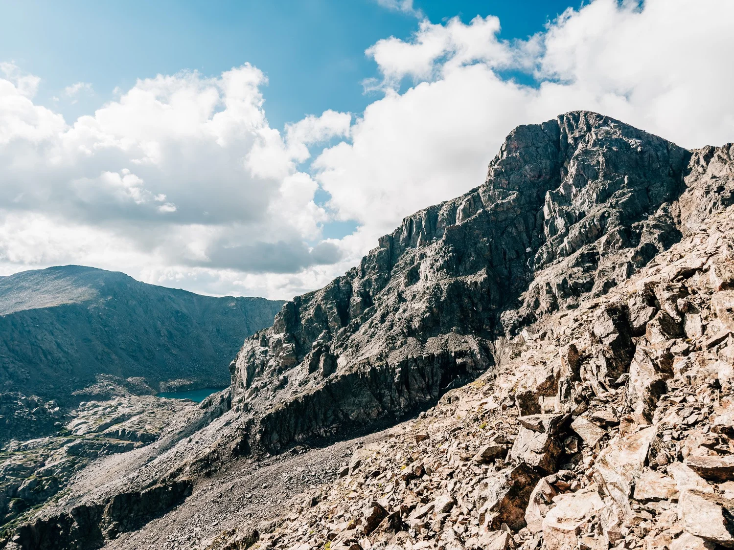
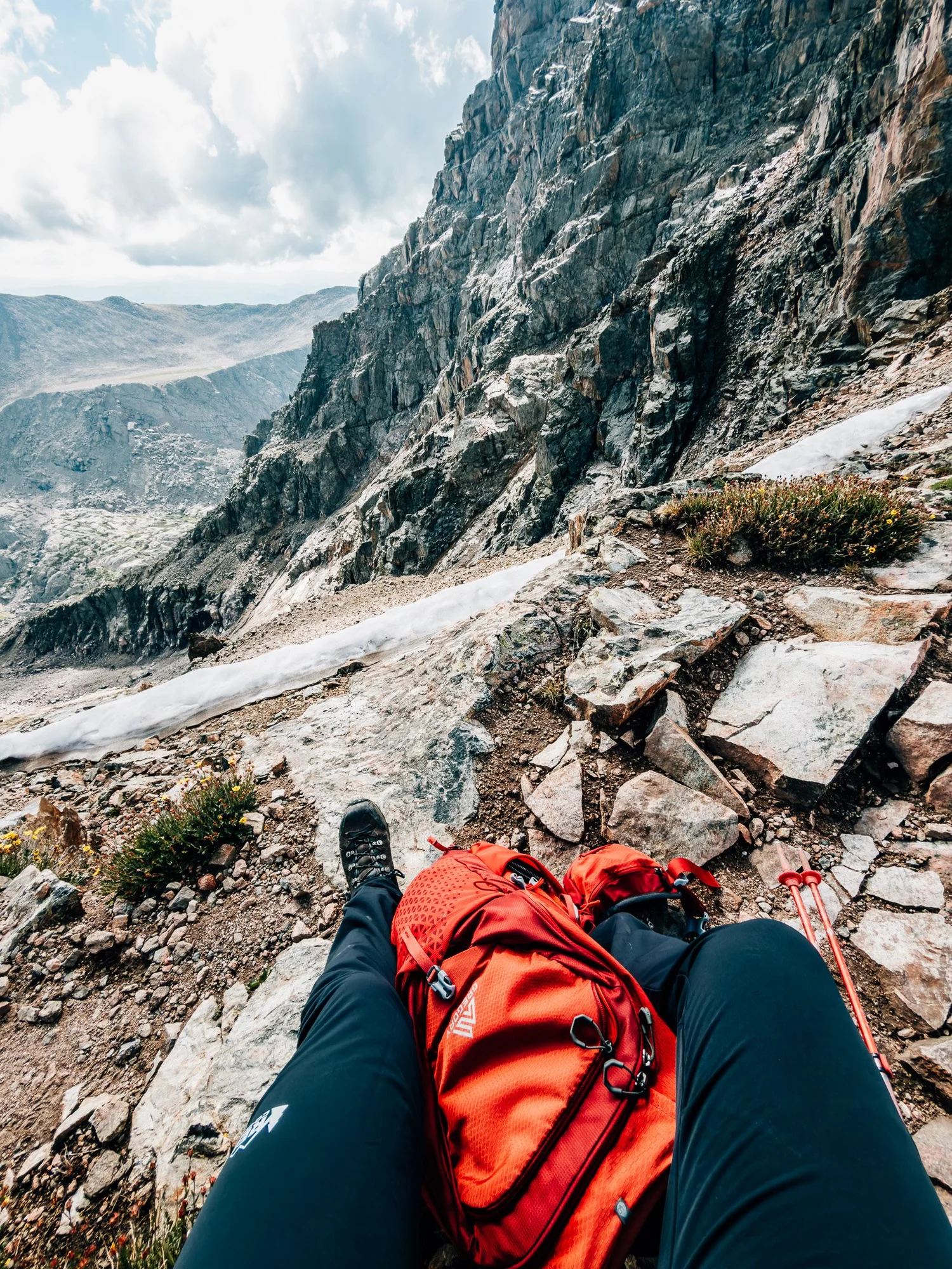
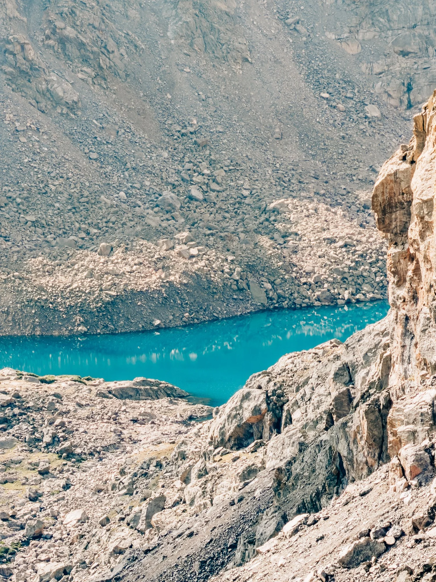
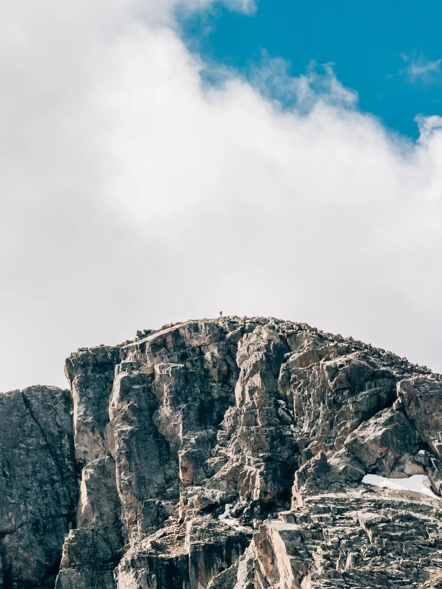
By 8:51 I was working up the rocky section, and it was slow going — by 9:20 I was still on it, the summit not looking any closer, though the view down into the basin and the lake below more than made up for it. I sat down for a break at 9:47, close enough now that a small, lingering patch of snow sat right below me. By 10:29 I was on the final push, and the terrain got even rockier and more broken underfoot.
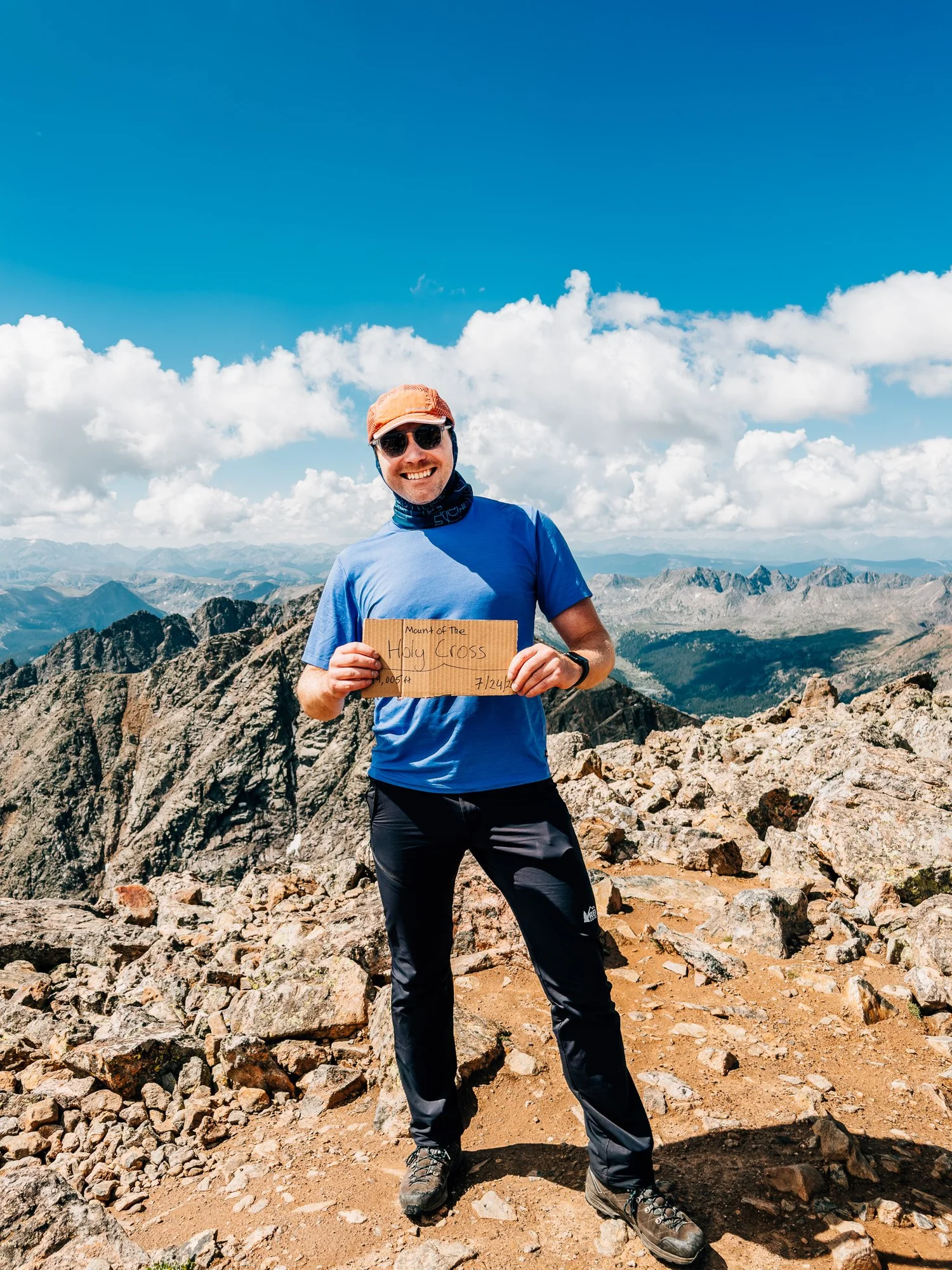
Summit of Mount of the Holy Cross — 14,005 ft
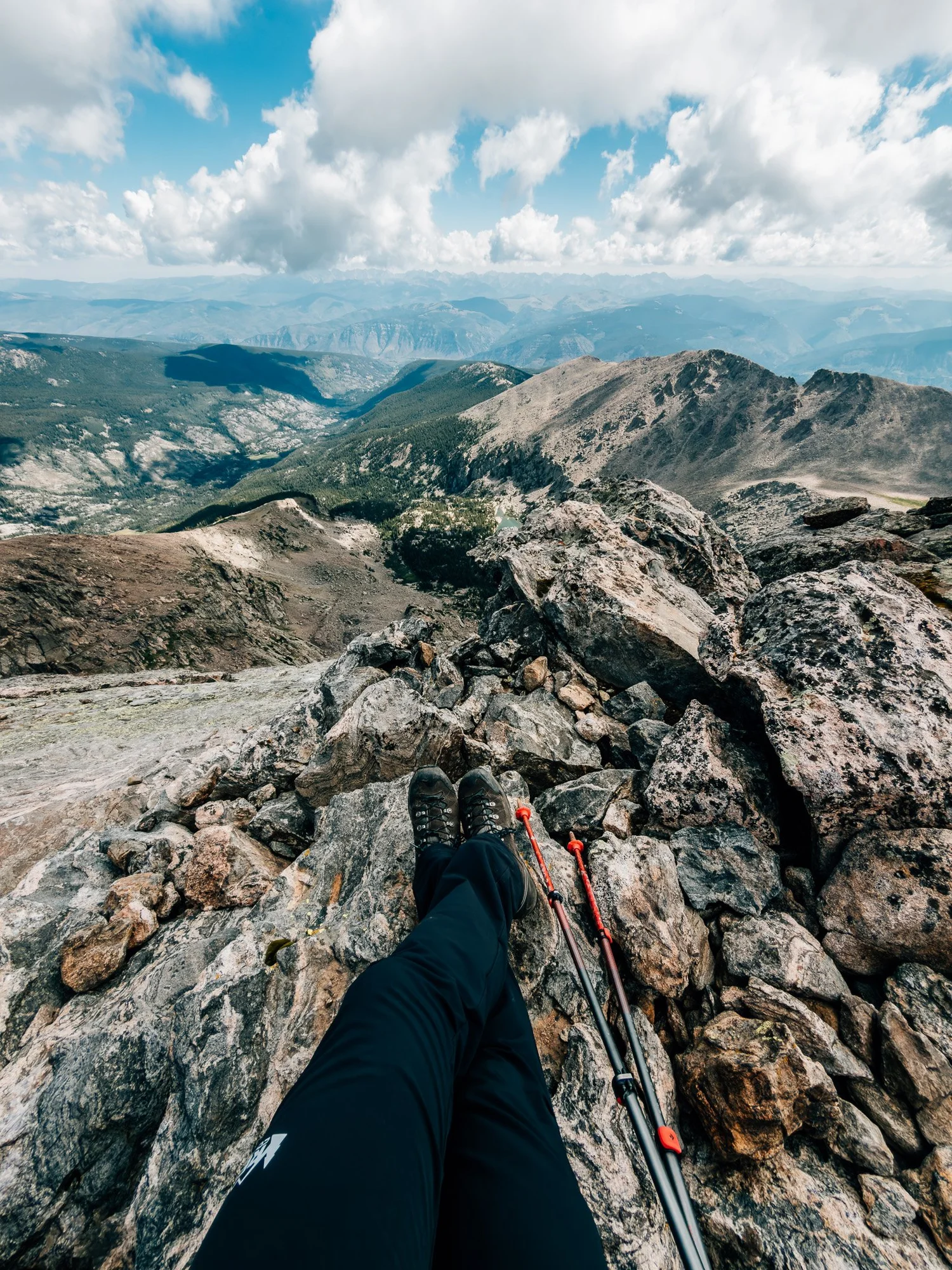
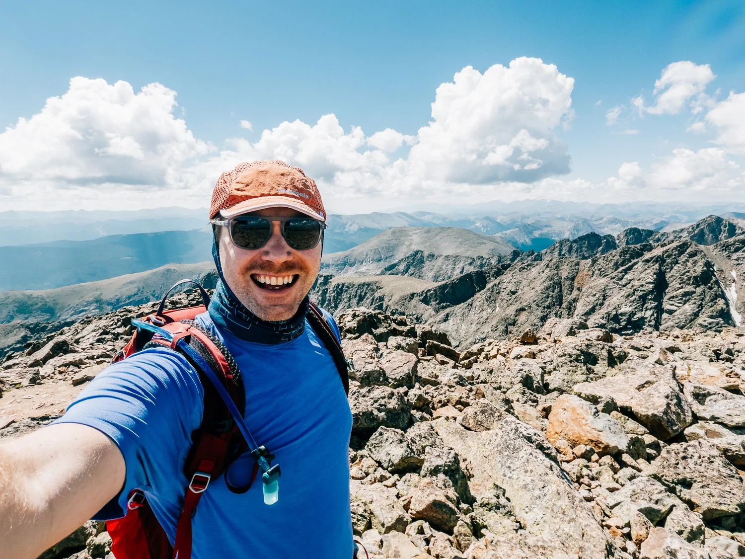
Topped out at 10:45. A few other hikers were already up there, taking in the 360-degree view. Fourteener number twenty. I took my time, grabbed a few photos, and started back down.
Back at the Trailhead
Made it back to the car at 2:22 p.m. — 9 hours 46 minutes and 13.9 miles after starting. Definitely one of the harder fourteeners on the standard-route list. Nothing about it is technical, but it's relentless: you earn every foot of that elevation gain twice.
Hike Summary
- Name
- Mount of the Holy Cross
- Location
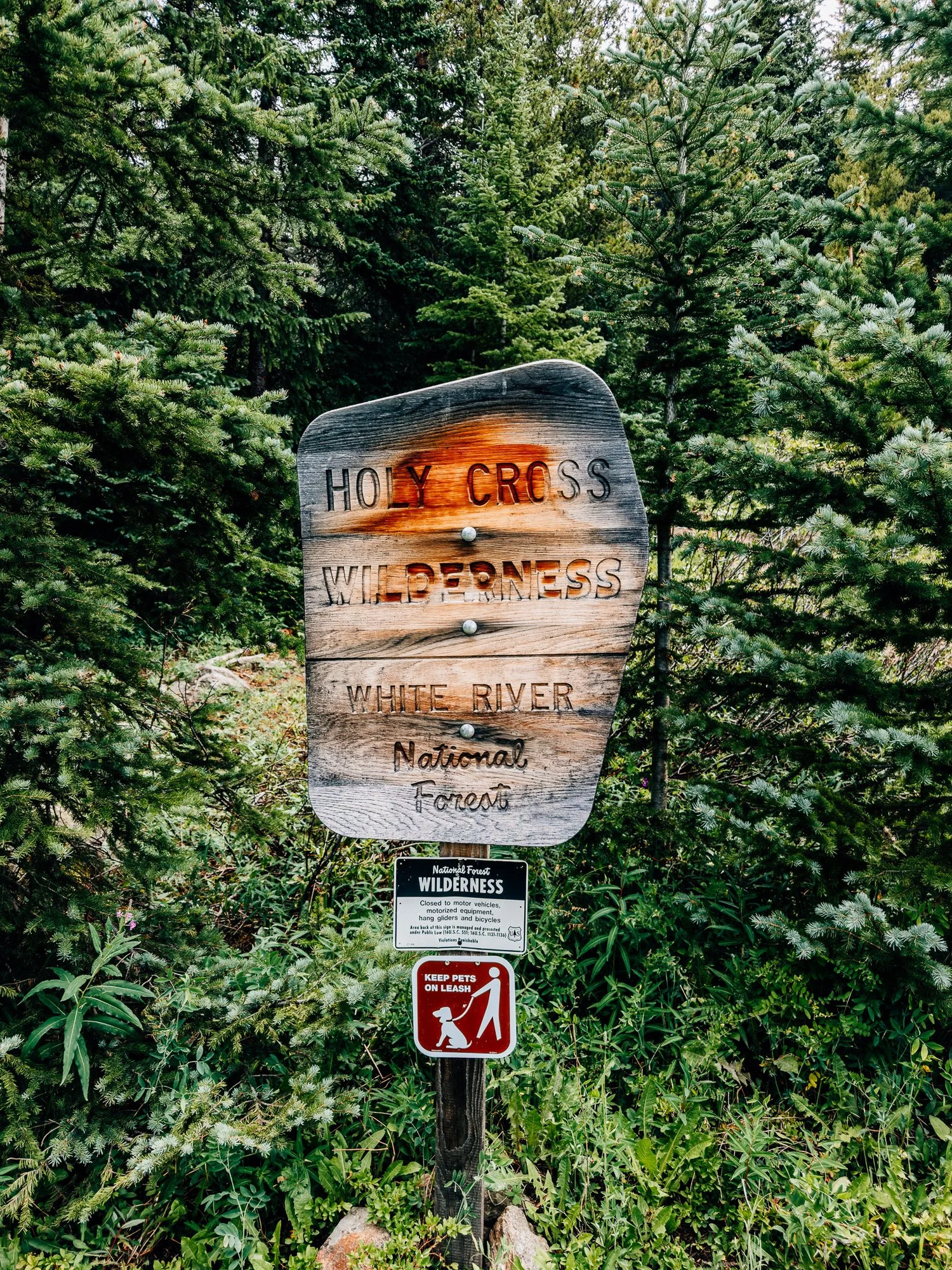
- Holy Cross Wilderness, White River National Forest, CO
- Route
- Half Moon Trailhead → Half Moon Pass → East Cross Creek → North Ridge → Summit (out & back)
- Distance
- 13.9 miles
- Elevation Gain
- ~5,600 feet
- Total Time
- 9 hrs 46 min
- Class
- Class 2
- Access
- Half Moon Trailhead off Tigiwon Road — dirt, listed as 2WD but rough; high-clearance recommended.
Trail Features
What you'll find along the way —
-
01
Alpine Views
Above treeline for most of the route, with the Sawatch Range in view nearly the whole way.
-
02
Backcountry Campsites
East Cross Creek holds a popular basin of established backcountry sites at the bottom of the valley.
-
03
Wildflowers
Wildflowers scattered through the lower trail on the way up to Half Moon Pass.
-
04
Turquoise Lakes
Alpine lakes visible in the basin below the ridge on the climb toward the summit.
Recorded with Strava
Open Activity Recorded with Strava